Old Maps of York, Alabama
Explore 17 old maps of York, spanning from 1953 to today. These high-resolution historic maps reveal how streets, neighborhoods, landmarks, and natural features evolved over time — perfect for genealogy, metal detecting, research, and local history exploration.
What you can do with these maps:
- See how York changed over time: Compare historical maps to modern-day views to trace roads, homesites, rail lines & more.
- View detailed metadata: Each map includes creators, publishers, year, scale, and archive source.
- Overlay maps with satellite & LiDAR: Visualize the past alongside modern tools to explore terrain & human change.
- Trusted historical sources: Maps sourced from the USGS, Library of Congress, and other archives.
- Access maps your way: View online, download high-res files, or order prints for personal or research use.
Start exploring old maps of York to uncover forgotten places, hidden landmarks, and the deep history beneath your feet.
York, AL maps
(17)- 1953 Map of Meridian, 1966 Print
 1953 Meridian1966 Print · USGSEast Central Mississippi and the Alabama borderlands are captured here during a period of steady growth and infrastructure expansion. Genealogists and historians can trace rail-town development along the Gulf Mobile & Ohio Railroad and find early settlements like Scooba, Pelahatchie, and De Kalb.2 unique versions available
 - 1957 Map of Meridian
 1957 Meridian1957 Print · USGSEast Central Mississippi and parts of Western Alabama come alive in the mid-1950s, centered on the transit hub of Meridian. Researchers can trace old rail lines like the Illinois Central and find historic sites such as the Choctaw Indian Reservation and Roosevelt State Park.
 - 1965 Map of Meridian
 1965 Meridian1965 Print · USGSEast Mississippi and West Alabama are mapped here in the mid-sixties as the region's modern highway and reservoir systems began to take shape. Researchers can trace rural lineages through local landmarks like Prince Chapel and Tuscahoma Landing, or follow the historic Gulf Mobile & Ohio rail lines.
 - 1974 Map of Boyd, 1978 Print
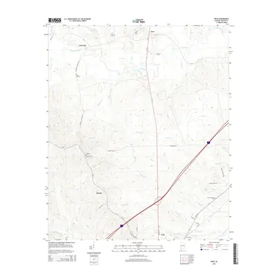
 1974 Boyd1978 Print · USGSSumter County at the peak of the 1970s shows the convergence of major rail lines and rural river life. Genealogists and historians can trace numerous family sites like Elliott Cem, Smiths Chapel, and the vanished Old Railroad Grade near Boyd.2 unique versions available
 - 1974 Map of York, 1978 Print
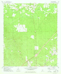
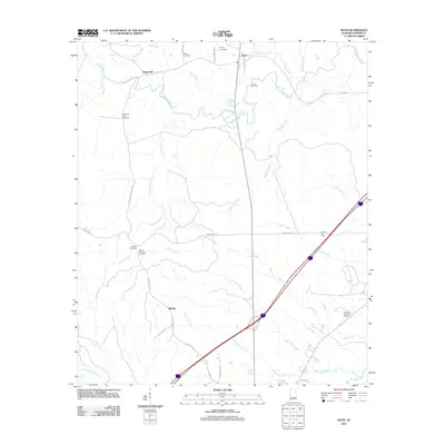
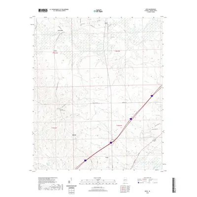
 1974 York1978 Print · USGSSumter County in the mid-seventies shows a landscape of timbered hills and rail junctions centered on the hub of York. Researchers can trace old family sites and rural landmarks like the Kinterbish Jr High Sch, Siloam Ch, and the Rumley Lookout Tower.
 - 1984 Map of De Kalb
 1984 De Kalb1984 Print · USGSThe Mississippi-Alabama borderlands come into focus in the 1980s, where the river-and-rail economy meets military and tribal lands. Researchers can trace rural lineages across the Choctaw Indian Reservation or through the rail towns of Scooba and De Kalb.2 unique versions available
 - 1984 Map of Meridian
 1984 Meridian1984 Print · USGSEastern Mississippi and Western Alabama come alive in the mid-1980s, showing the expansion of Meridian and the surrounding timber and river lands. Genealogists and researchers can trace family landmarks like Memorial Park Cem, the Pine Springs church, and the rural roads near Kewanee.3 unique versions available
 - 2011 Map of Boyd, 2011 Print
 2011 Boyd2011 Print · USGSCovers York, including Payneville, Boyd, and other nearby areas
 - 2011 Map of York, 2011 Print
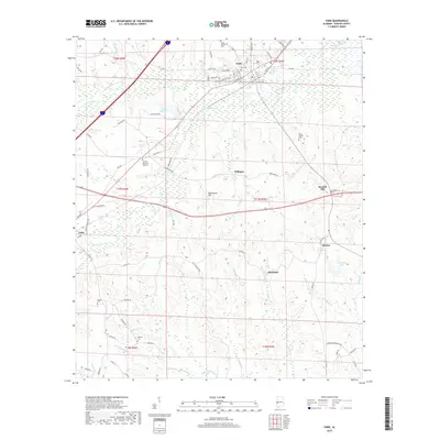
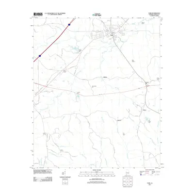 2011 York2011 Print · USGSCovers York, including Cuba, Scratch Hill, and other nearby areas
 - 2014 Map of Boyd, 2014 Print
 2014 Boyd2014 Print · USGSCovers York, including Payneville, Boyd, and other nearby areas
 - 2014 Map of York, 2014 Print
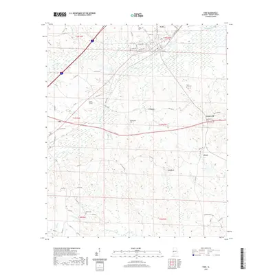
 2014 York2014 Print · USGSCovers York, including Cuba, Scratch Hill, and other nearby areas
 - 2018 Map of Boyd, 2018 Print
 2018 Boyd2018 Print · USGSCovers York, including Payneville, Boyd, and other nearby areas
 - 2018 Map of York, 2018 Print
 2018 York2018 Print · USGSCovers York, including Cuba, Scratch Hill, and other nearby areas
 - 2020 Map of York, 2020 Print
 2020 York2020 Print · USGSCovers York, including Cuba, Scratch Hill, and other nearby areas
 - 2020 Map of Boyd, 2020 Print
 2020 Boyd2020 Print · USGSCovers York, including Payneville, Boyd, and other nearby areas
 - 2024 Map of York, 2024 Print
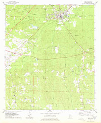
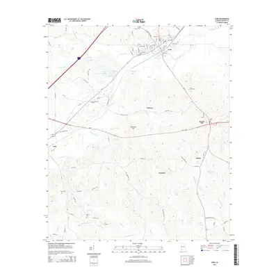
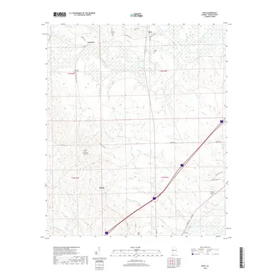
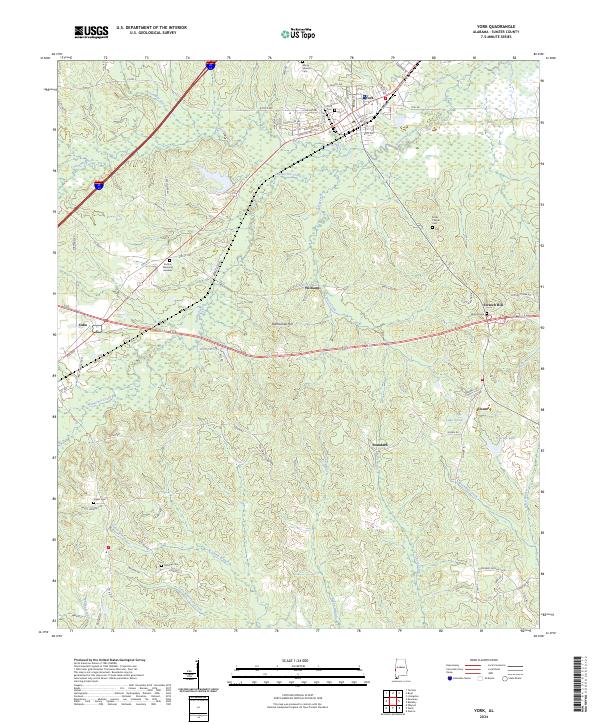 2024 York2024 Print · USGSSumter County at the modern day reveals a landscape of enduring rural settlements and intricate waterways. Genealogists can trace family footprints at York Cem, McElroy Cem, and the small community of Scratch Hill near the winding Brockway Creek.
 - 2024 Map of Boyd, 2024 Print
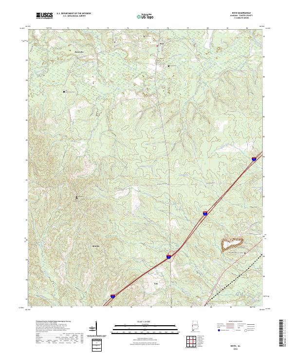 2024 Boyd2024 Print · USGSThe rural landscapes of western Sumter County come to life in this contemporary survey of the area surrounding the northern outskirts of York. Local historians can trace family roots at Elliott Cem and Mount Olive Cem or follow the winding Sucarnoochee River.
End of results
Showing maps 1-17 of 17
Top cities near York
- Livingston historical maps
- Bellamy historical maps
- Cuba historical maps
- Epes historical maps
- Emelle historical maps
Frequently asked questions
- What are the different types of historical maps available for York?
- What is the oldest map of York?
- Where can I purchase historical maps of York for my home or office?
- Where can I download high-res historical maps of York?
- Are there historical topographic maps available for York?
- Is there historical aerial imagery available for York?
- Where are historical maps of York sourced from?