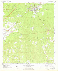
1974 Map of York
USGS Topo · Published 1978About this map
The town of York serves as a central hub in western Sumter County during the mid-1970s, defined by the intersection of the Southern railway and the ST Louis San Francisco railroad line. The landscape is characterized by a dense network of creeks, including Alamuchee Creek and Toomsuba Creek, which wind through terrain marked by several sandpits and timber-related landmarks like the Rumley Lookout Tower. The era's transportation shifts are visible in the Old Location Railroad Grade, which suggests a realignment of the local rail infrastructure.
Find a feature on this map
45 named features on this map. Tap any name to fly to it.
Don’t see what you’re looking for? This feature index may not catch every label — zoom into the map to look around manually.
Map Details
Editions of this 1974 York Map
This is the sole edition of this map. No revisions or reprints were ever made.
Other maps of this area
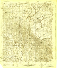
1929 · Epes
USGS Topo · 1:48,000
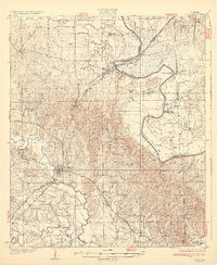
1932 · Epes
USGS Topo · 1:62,500

1953 · Meridian
USGS Topo · 1:250,000

1957 · Meridian
USGS Topo · 1:250,000

1965 · Meridian
USGS Topo · 1:250,000
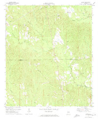
1971 · Gaston
USGS Topo · 1:24,000
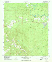
1971 · Bellamy
USGS Topo · 1:24,000
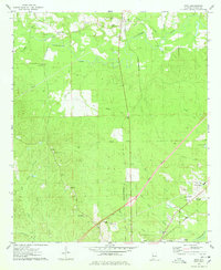
1974 · Boyd
USGS Topo · 1:24,000
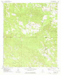
1974 · Ward
USGS Topo · 1:24,000
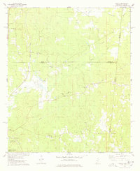
1974 · Tamola
USGS Topo · 1:24,000