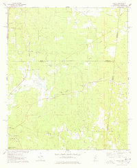
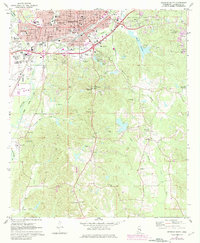
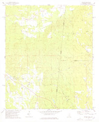
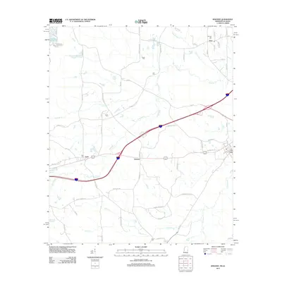
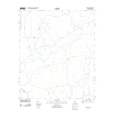
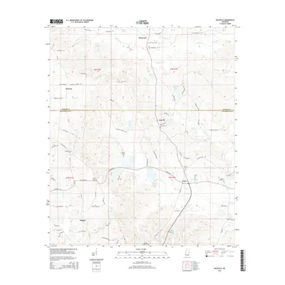
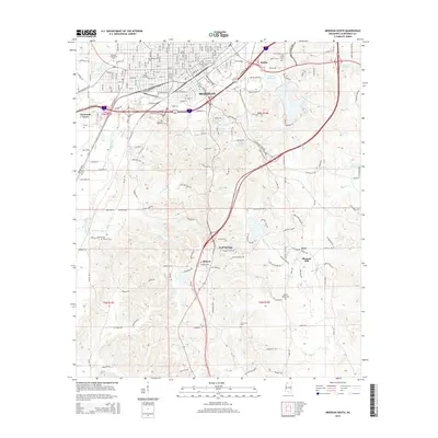
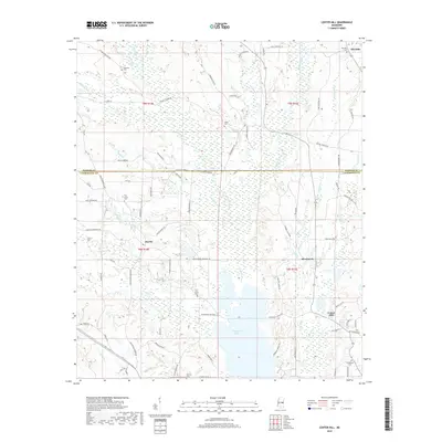
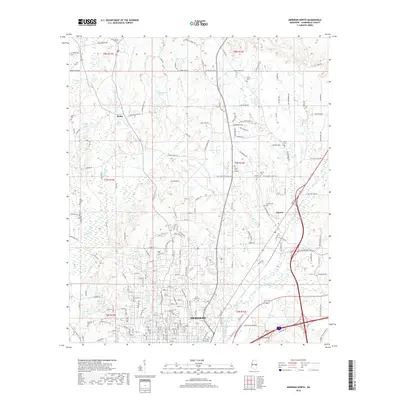
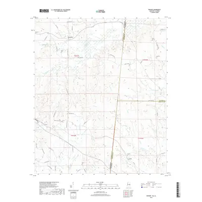
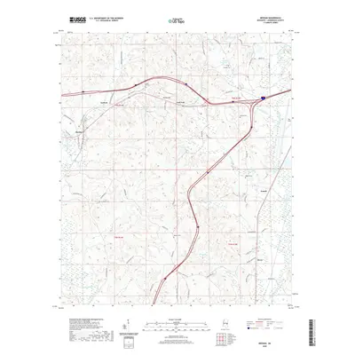
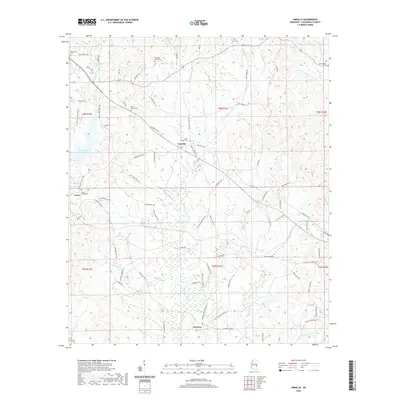
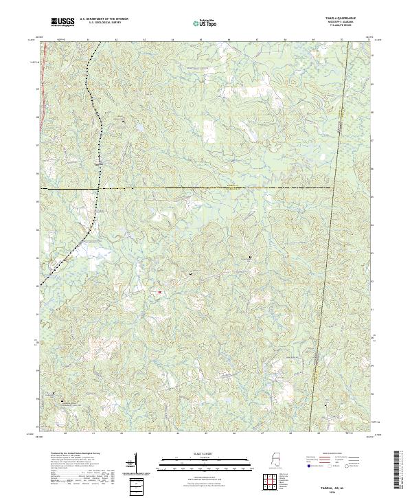
1974 Map of Tamola
USGS Topo · Published 1978About this map
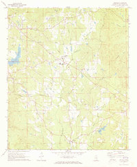
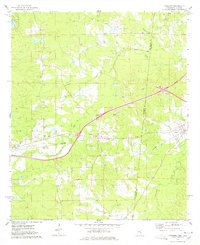
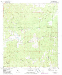
The Illinois Central Gulf railroad cuts a straight north-south line through this borderland, where the wooded hills of eastern Mississippi meet the Alabama state line. The small settlement of Tamola serves as a central point for a landscape defined by its small country congregations and family burial grounds, including Mt Hebron Ch, Mt Cephus Ch, and the Anna York Cem. The terrain is deeply etched by the Sucarnoochee River and Ponta Creek, which drain a region transitionally shaped by resource extraction.
Find a feature on this map
33 named features on this map. Tap any name to fly to it.
Don’t see what you’re looking for? This feature index may not catch every label — zoom into the map to look around manually.
Map Details
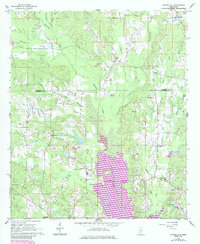
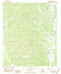
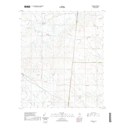
Editions of this 1974 Tamola Map
2 editions found
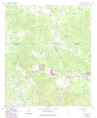
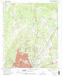
Historical Maps of Tamola Through Time
54 maps found
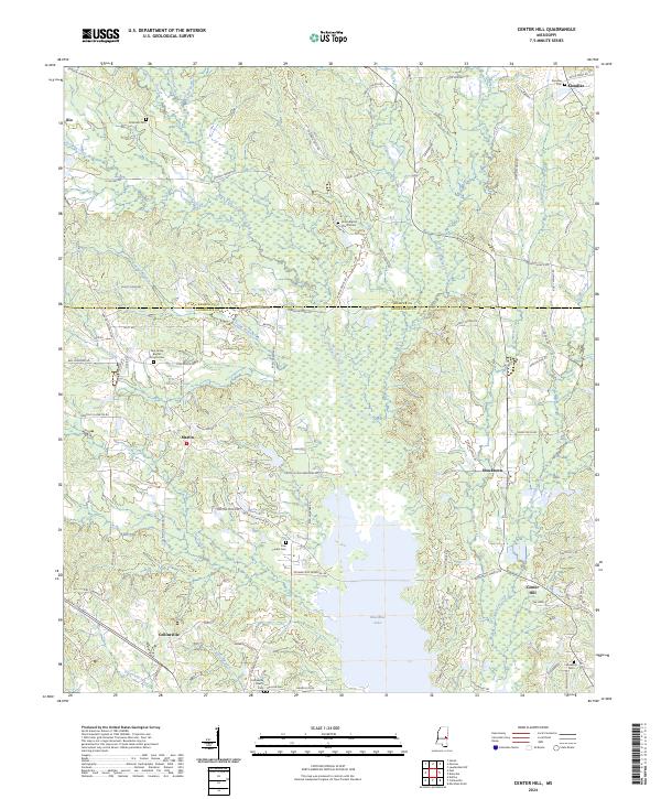
1962 Center Hill
Lauderdale County, MS
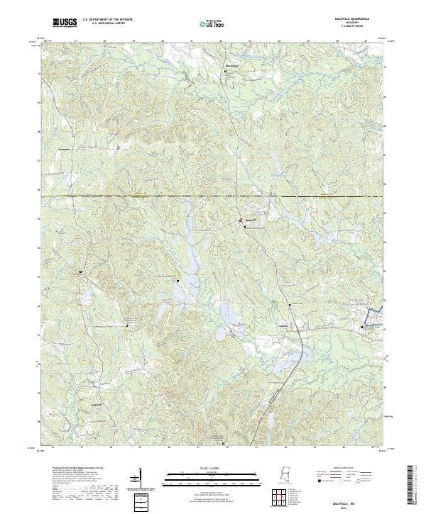
1962 Daleville
Lauderdale County, MS
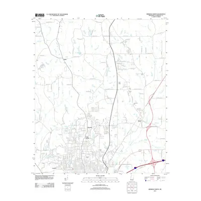
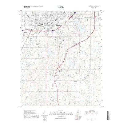
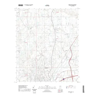
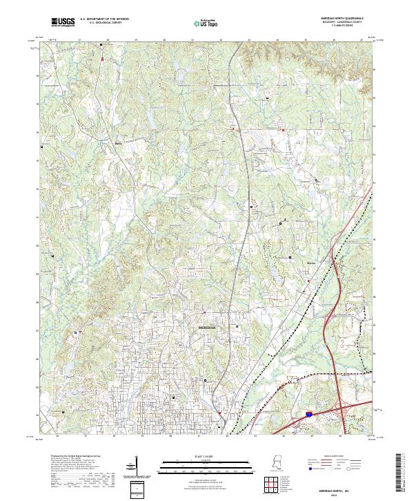
1971 Meridian North
Lauderdale County, MS
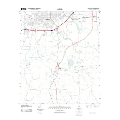
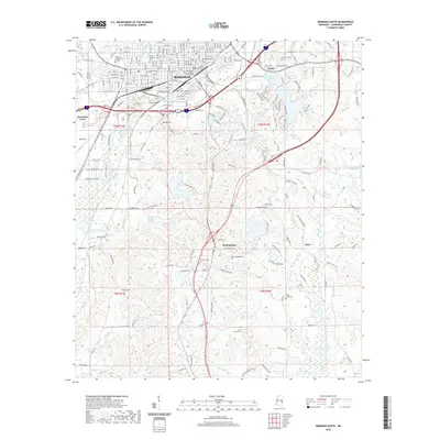
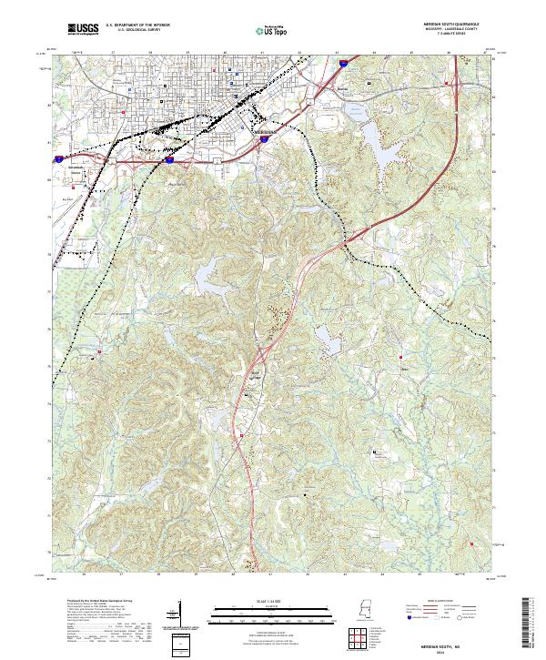
1971 Meridian South
Lauderdale County, MS
1971 Vimville
Lauderdale County, MS
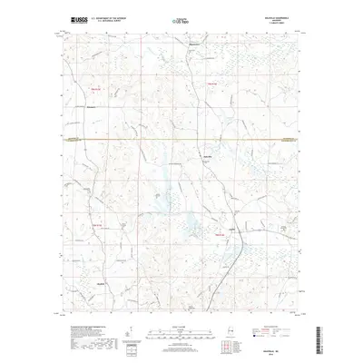
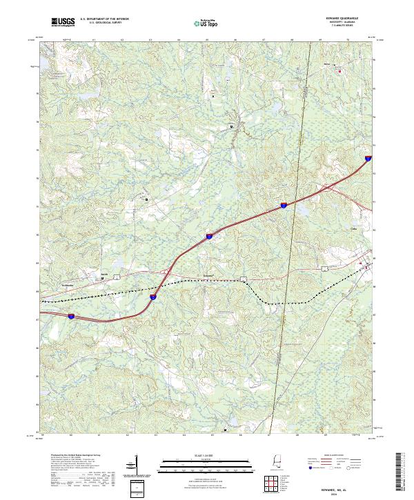
1974 Kewanee
Lauderdale County, MS
1974 Tamola
Lauderdale County, MS
1978 Whynot
Lauderdale County, MS
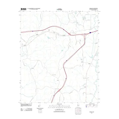
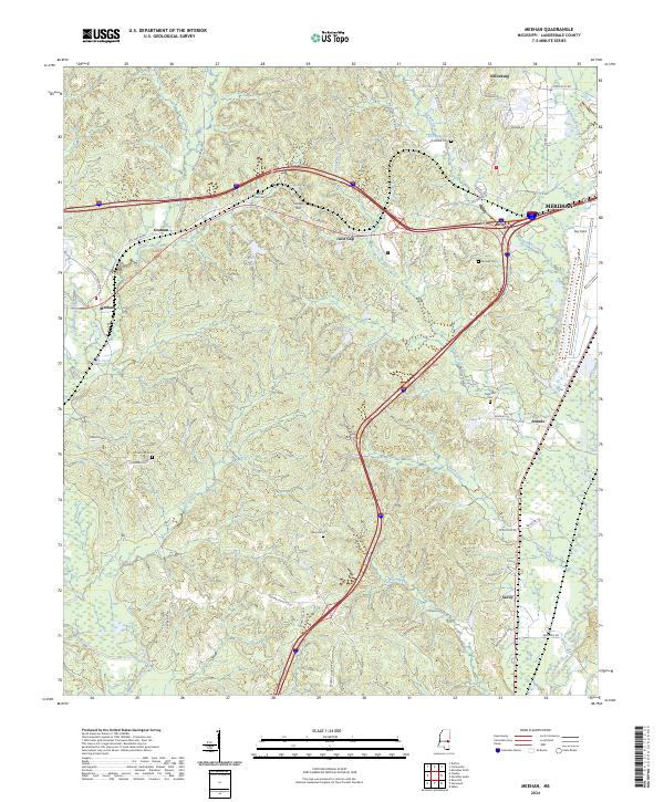
1982 Meehan
Lauderdale County, MS
2012 Center Hill
Lauderdale County, MS
2012 Daleville
Lauderdale County, MS
2012 Kewanee
Lauderdale County, MS
2012 Meehan
Lauderdale County, MS
2012 Meridian North
Lauderdale County, MS
2012 Meridian South
Lauderdale County, MS
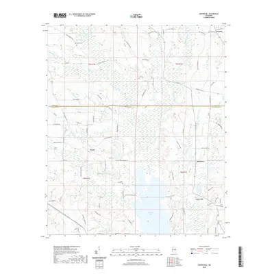
2012 Tamola
Lauderdale County, MS
2012 Vimville
Lauderdale County, MS
2012 Whynot
Lauderdale County, MS
2015 Center Hill
Lauderdale County, MS
2015 Daleville
Lauderdale County, MS
2015 Kewanee
Lauderdale County, MS
2015 Meehan
Lauderdale County, MS
2015 Meridian North
Lauderdale County, MS
2015 Meridian South
Lauderdale County, MS
2015 Tamola
Lauderdale County, MS
2015 Vimville
Lauderdale County, MS
2015 Whynot
Lauderdale County, MS
2018 Center Hill
Lauderdale County, MS
2018 Daleville
Lauderdale County, MS
2018 Kewanee
Lauderdale County, MS
2018 Meehan
Lauderdale County, MS
2018 Meridian North
Lauderdale County, MS
2018 Meridian South
Lauderdale County, MS
2018 Tamola
Lauderdale County, MS
2018 Vimville
Lauderdale County, MS
2018 Whynot
Lauderdale County, MS
2020 Center Hill
Lauderdale County, MS
2020 Daleville
Lauderdale County, MS
2020 Kewanee
Lauderdale County, MS
2020 Meehan
Lauderdale County, MS
2020 Meridian North
Lauderdale County, MS
2020 Meridian South
Lauderdale County, MS
2020 Tamola
Lauderdale County, MS
2020 Vimville
Lauderdale County, MS
2020 Whynot
Lauderdale County, MS
2024 Center Hill
Lauderdale County, MS
2024 Daleville
Lauderdale County, MS
2024 Kewanee
Lauderdale County, MS
2024 Meehan
Lauderdale County, MS
2024 Meridian North
Lauderdale County, MS
2024 Meridian South
Lauderdale County, MS
2024 Tamola
Lauderdale County, MS
2024 Vimville
Lauderdale County, MS
2024 Whynot
Lauderdale County, MS