
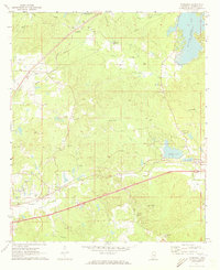
1962 Map of Lauderdale
USGS Topo · Published 1963About this map
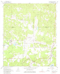
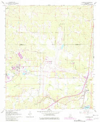
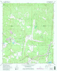
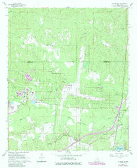
Mc Cain Field Naval Auxiliary Air Station occupies a central position on this 1960s landscape, illustrating the military's footprint in East Mississippi during the Cold War era. The surrounding terrain is defined by the convergence of many watercourses, including Ponta Creek, Segars Creek, and Big Reed Creek, which wind through the forested border between Kemper and Lauderdale counties. The unincorporated community of Lauderdale is situated along the Gulf Mobile and Ohio railroad line, serving as a hub for the local rural economy.
Find a feature on this map
33 named features on this map. Tap any name to fly to it.
Don’t see what you’re looking for? This feature index may not catch every label — zoom into the map to look around manually.
Map Details
Editions of this 1962 Lauderdale Map
5 editions found
Other maps of this area

1921 · Meridian
USGS Topo · 1:48,000

1923 · Meridian
USGS Topo · 1:62,500

1953 · Meridian
USGS Topo · 1:250,000

1957 · Meridian
USGS Topo · 1:250,000

1962 · Daleville
USGS Topo · 1:24,000

1962 · Lauderdale NW
USGS Topo · 1:24,000

1962 · Oak Grove
USGS Topo · 1:24,000

1965 · Meridian
USGS Topo · 1:250,000

1971 · Meridian North
USGS Topo · 1:24,000
1971 · Toomsuba
USGS Topo · 1:24,000