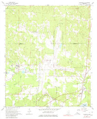
1962 Map of Lauderdale
USGS Topo · Published 1980About this map
McCain Field Naval Auxiliary Air Station dominates the central landscape of this East Mississippi region during the early 1960s. Located just south of the Kemper Co Lauderdale Co line, the station provides a clear look at military infrastructure alongside the rural settlements of the era. To the east, the community of Lauderdale serves as a primary hub, situated where the Gulf Mobile and Ohio railroad corridor tracks alongside Possum Creek.
Find a feature on this map
32 named features on this map. Tap any name to fly to it.
Don’t see what you’re looking for? This feature index may not catch every label — zoom into the map to look around manually.
Map Details
Editions of this 1962 Lauderdale Map
5 editions found
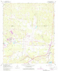
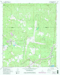
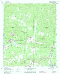
Other maps of this area

1921 · Meridian
USGS Topo · 1:48,000

1923 · Meridian
USGS Topo · 1:62,500

1953 · Meridian
USGS Topo · 1:250,000

1957 · Meridian
USGS Topo · 1:250,000

1962 · Daleville
USGS Topo · 1:24,000

1962 · Lauderdale
USGS Topo · 1:24,000

1962 · Lauderdale NW
USGS Topo · 1:24,000

1962 · Oak Grove
USGS Topo · 1:24,000

1965 · Meridian
USGS Topo · 1:250,000

1971 · Meridian North
USGS Topo · 1:24,000