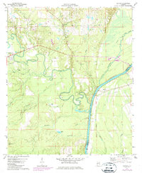
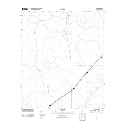
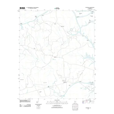
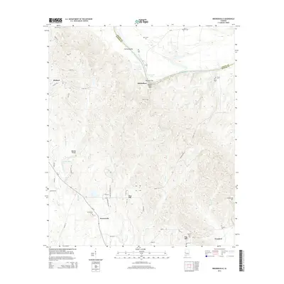
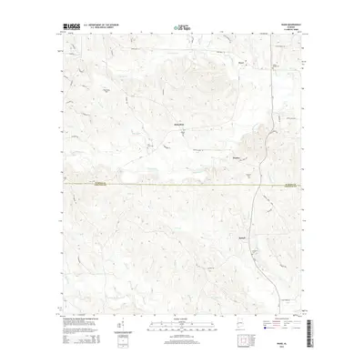
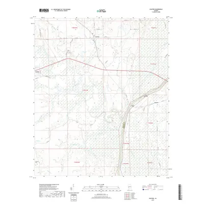
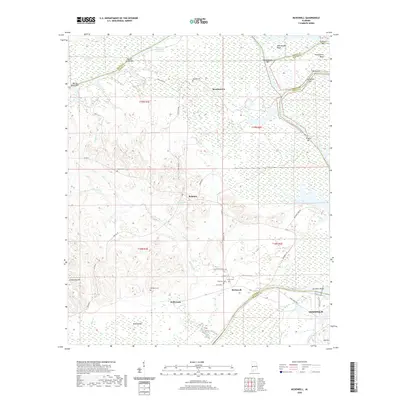
1974 Map of Ward
USGS Topo · Published 1978About this map
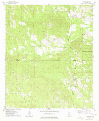
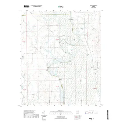
Ward and Halsell serve as the primary focal points of this mid-1970s survey, illustrating a rural landscape defined by wood-frame churches and small family settlements across the Sumter Co and Choctaw Co line. The infrastructure of the era is anchored by the St Louis-San Francisco railroad line, which cuts north-south through the terrain to connect these communities. Waterways like Little Kinterbish Creek and Yantley Creek drain the area, while the Kinterbish State Wildlife Management Area occupies a significant portion of the eastern landscape.
Find a feature on this map
39 named features on this map. Tap any name to fly to it.
Don’t see what you’re looking for? This feature index may not catch every label — zoom into the map to look around manually.
Map Details
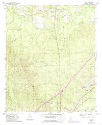
Editions of this 1974 Ward Map
This is the sole edition of this map. No revisions or reprints were ever made.
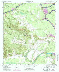
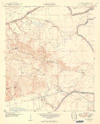
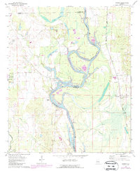
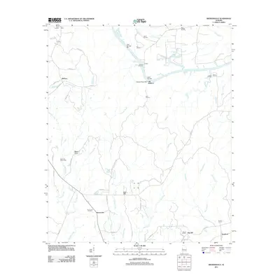
Historical Maps of Halsell Through Time
43 maps found
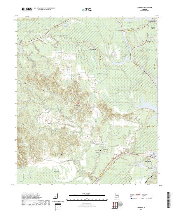
1948 Mc Dowell
Sumter County, AL
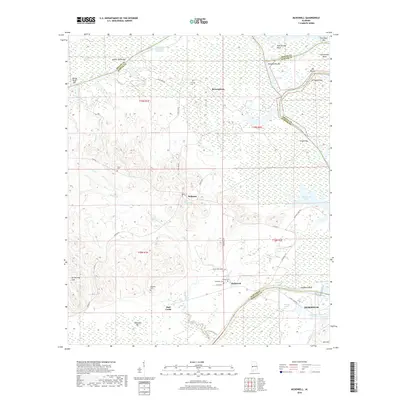
1949 McDowell
Sumter County, AL
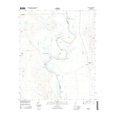
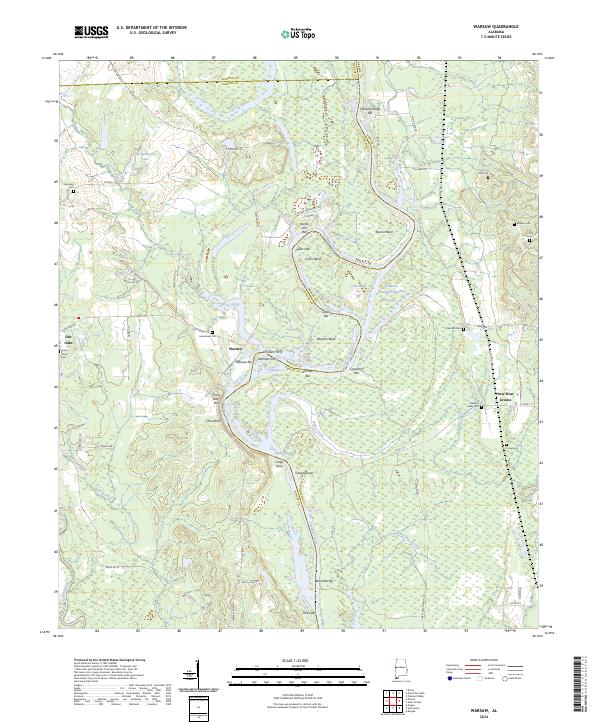
1970 Warsaw
Sumter County, AL
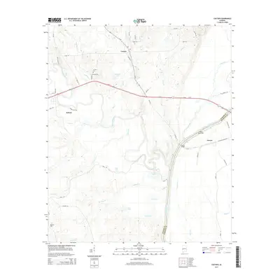
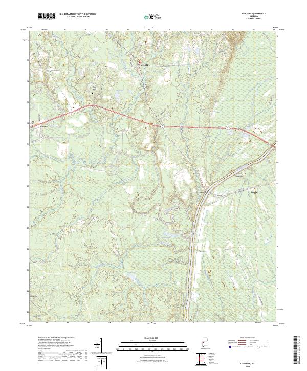
1971 Coatopa
Sumter County, AL
1974 Boyd
Sumter County, AL
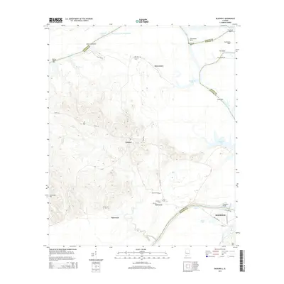
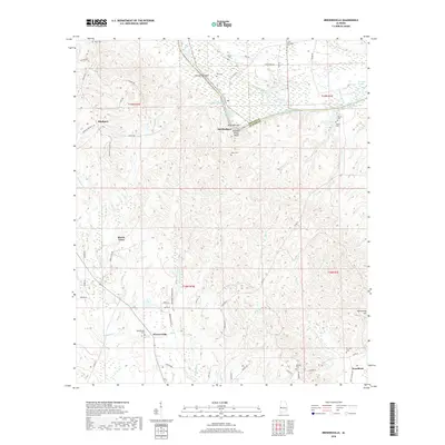
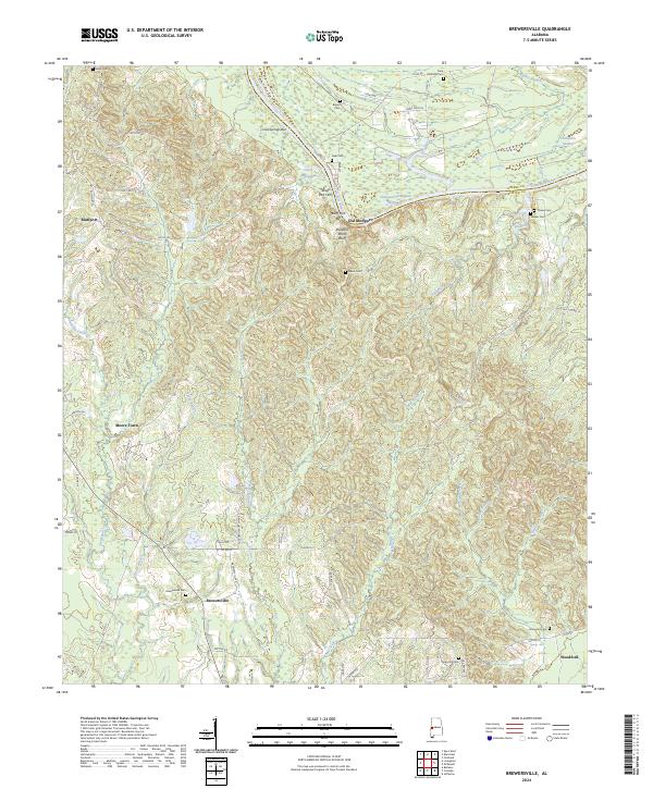
1974 Brewersville
Sumter County, AL
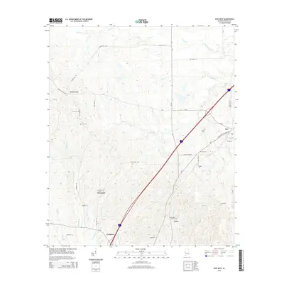
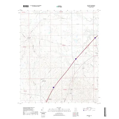
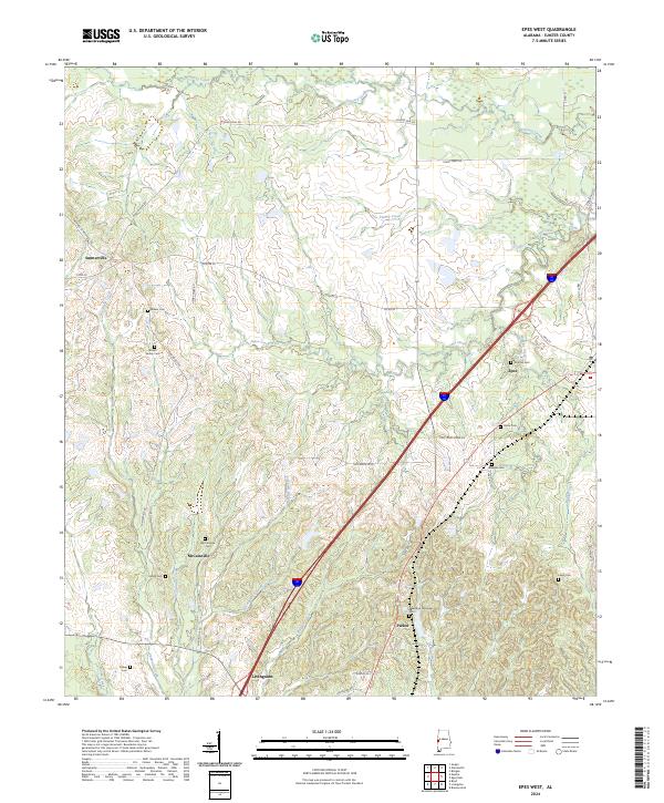
1974 Epes West
Sumter County, AL
1974 Ward
Sumter County, AL
2011 Boyd
Sumter County, AL
2011 Brewersville
Sumter County, AL
2011 Coatopa
Sumter County, AL
2011 Epes West
Sumter County, AL
2011 McDowell
Sumter County, AL
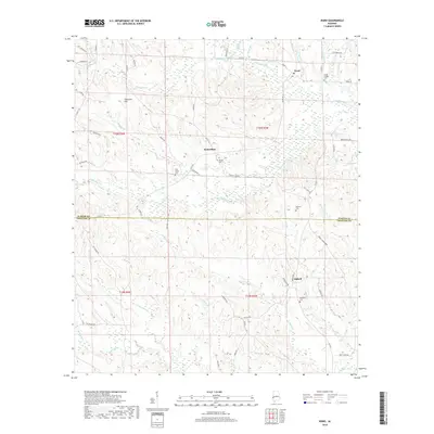
2011 Ward
Sumter County, AL
2011 Warsaw
Sumter County, AL
2014 Boyd
Sumter County, AL
2014 Brewersville
Sumter County, AL
2014 Coatopa
Sumter County, AL
2014 Epes West
Sumter County, AL
2014 McDowell
Sumter County, AL
2014 Ward
Sumter County, AL
2014 Warsaw
Sumter County, AL
2018 Boyd
Sumter County, AL
2018 Brewersville
Sumter County, AL
2018 Coatopa
Sumter County, AL
2018 Epes West
Sumter County, AL
2018 McDowell
Sumter County, AL
2018 Ward
Sumter County, AL
2018 Warsaw
Sumter County, AL
2020 Boyd
Sumter County, AL

2020 Brewersville
Sumter County, AL
2020 Coatopa
Sumter County, AL
2020 Epes West
Sumter County, AL
2020 McDowell
Sumter County, AL
2020 Ward
Sumter County, AL
2020 Warsaw
Sumter County, AL
2024 Boyd
Sumter County, AL
2024 Brewersville
Sumter County, AL
2024 Coatopa
Sumter County, AL
2024 Epes West
Sumter County, AL
2024 McDowell
Sumter County, AL

2024 Ward
Sumter County, AL
2024 Warsaw
Sumter County, AL