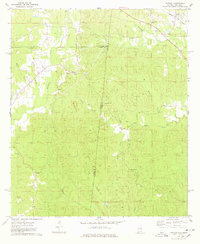
1974 Map of Yantley
USGS Topo · Published 1978About this map
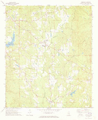
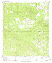
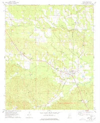
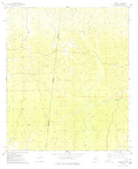
The Alabama and Mississippi state line divides this 1970s landscape, where the rural communities of Yantley and Cyril anchor a terrain defined by complex creek systems and local landmarks. The drainage of Bogue Chitto and Tuckabum Creek dominates the eastern half, while the presence of the Douglas Canal suggests efforts to manage the low-lying waters. Settlement patterns are sparse, primarily following the winding paths of county roads connecting family sites like the McLendon Cem and rural congregations at Pleasant Hill Ch and Concord Ch.
Find a feature on this map
28 named features on this map. Tap any name to fly to it.
Don’t see what you’re looking for? This feature index may not catch every label — zoom into the map to look around manually.
Map Details
Editions of this 1974 Yantley Map
This is the sole edition of this map. No revisions or reprints were ever made.
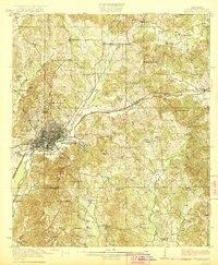
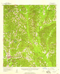
Other maps of this area
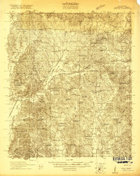
1921 · Meridian
USGS Topo · 1:48,000
1923 · Meridian
USGS Topo · 1:62,500

1953 · Meridian
USGS Topo · 1:250,000

1957 · Meridian
USGS Topo · 1:250,000
1957 · Quitman
USGS Topo · 1:62,500

1965 · Meridian
USGS Topo · 1:250,000
1971 · Vimville
USGS Topo · 1:24,000
1974 · Ward
USGS Topo · 1:24,000
1974 · Lisman
USGS Topo · 1:24,000
1974 · Hinton
USGS Topo · 1:24,000