
1971 Map of Gaston
USGS Topo · Published 1974About this map
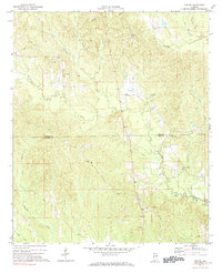
The boundary between Sumter and Choctaw Counties bisects this West Alabama landscape, where rural communities like Gaston and Derby are defined by their network of country churches and winding waterways. Established gathering places such as Gaston Valley Ch, St Johns Ch, and Mt Moriah Ch serve as focal points for the scattered settlements and farmsteads. The terrain is deeply carved by a dense drainage system, including the prominent Kinterbish Creek and Mobile Creek, which flow through heavily wooded sections and cleared bottomlands. Evidence of local industry and infrastructure appears in the form of a Sandpit near Gaston and a utility Pipeline that cuts across the northern reaches of the quadrangle. These features, along with several scattered Cemeteries, offer a clear picture of the land use and social geography of the region during the early 1970s.
Find a feature on this map
22 named features on this map. Tap any name to fly to it.
Don’t see what you’re looking for? This feature index may not catch every label — zoom into the map to look around manually.
Map Details
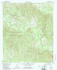
Editions of this 1971 Gaston Map
3 editions found
Other maps of this area

1953 · Meridian
USGS Topo · 1:250,000

1957 · Meridian
USGS Topo · 1:250,000

1965 · Meridian
USGS Topo · 1:250,000

1971 · Whitfield
USGS Topo · 1:24,000

1971 · Coatopa
USGS Topo · 1:24,000

1971 · Bellamy
USGS Topo · 1:24,000

1974 · Ward
USGS Topo · 1:24,000

1974 · Lisman
USGS Topo · 1:24,000
1974 · York
USGS Topo · 1:24,000
1978 · Pennington
USGS Topo · 1:24,000