2020s Maps of Talladega County, Alabama
Explore 52 historic maps of Talladega County from the 2020s. These maps offer a rare glimpse into what life looked like during the 2020s — showing old roads, neighborhoods, homes, and landmarks that have changed or disappeared over time.
Whether you're researching your family's past, planning a metal detecting trip, or studying how Talladega County's landscape evolved across the 2020s, these high-resolution maps are a powerful tool for exploring the history of this region.
- Focus on a specific era: All maps on this page are from the 2020s, giving you a focused view of this time period.
- See what’s changed: Compare century-old streets, trails, and buildings to today's modern landscape using overlays and satellite layers.
- Research with precision: Use these maps for genealogy, historical research, land use analysis, or educational projects.
- View, download, or print: Maps are fully viewable online in high resolution, and can be downloaded or printed for your own records.
Start exploring Talladega County's history through authentic maps from the 2020s. This is your window into the past.
Talladega County, AL maps
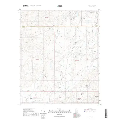
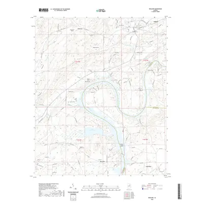
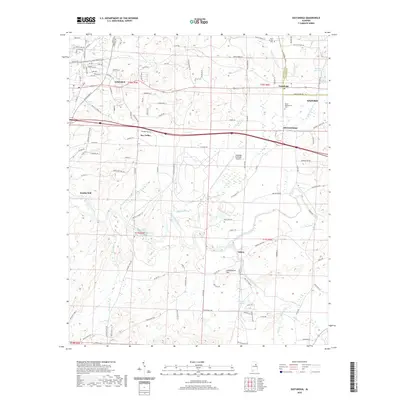
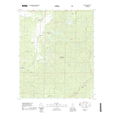
(52)- 2020 Map of Wilsonville, 2020 Print
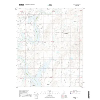 2020 Wilsonville2020 Print · USGSCovers Talladega County, including Wilsonville, Fayetteville, and other nearby areas
 - 2020 Map of Vincent, 2020 Print
 2020 Vincent2020 Print · USGSCovers Talladega County, including Vincent, Westover, and other nearby areas
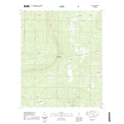
 - 2020 Map of Sleeping Giant, 2020 Print
 2020 Sleeping Giant2020 Print · USGSCovers Talladega County, including Talladega, Pell City, and other nearby areas
 - 2020 Map of Childersburg, 2020 Print
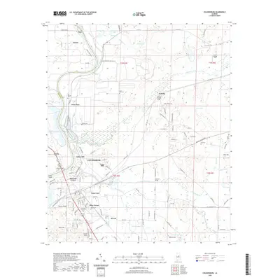 2020 Childersburg2020 Print · USGSCovers Talladega County, including Childersburg, Vincent, and other nearby areas
 - 2020 Map of Riverside, 2020 Print
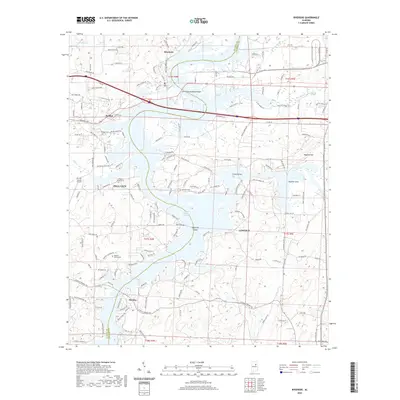 2020 Riverside2020 Print · USGSCovers Talladega County, including Pell City, Lincoln, and other nearby areas
 - 2020 Map of Weogufka, 2020 Print
 2020 Weogufka2020 Print · USGSCovers Talladega County, including Sylacauga, Weogufka, and other nearby areas
 - 2020 Map of Sylacauga West, 2020 Print
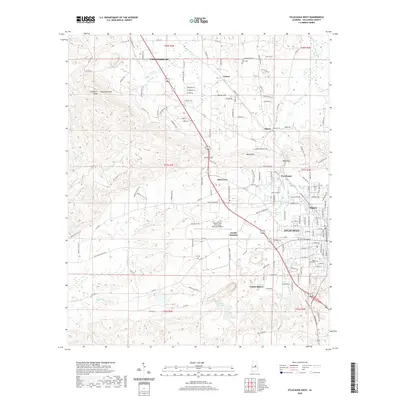 2020 Sylacauga West2020 Print · USGSCovers Talladega County, including Sylacauga, Childersburg, and other nearby areas
 - 2020 Map of Francis Mill, 2020 Print
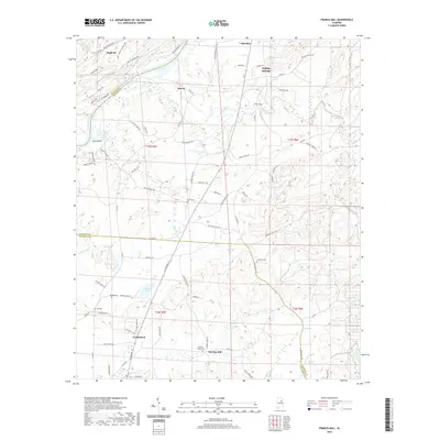 2020 Francis Mill2020 Print · USGSCovers Talladega County, including Lincoln, Ragland, and other nearby areas
 - 2020 Map of Ragland, 2020 Print
 2020 Ragland2020 Print · USGSCovers Talladega County, including Lincoln, Riverside, and other nearby areas
 - 2020 Map of Laniers, 2020 Print
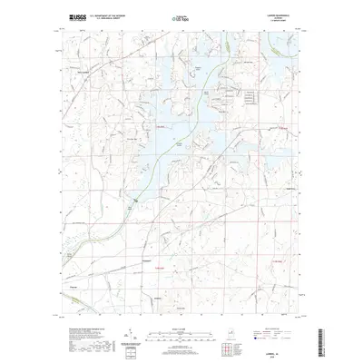 2020 Laniers2020 Print · USGSCovers Talladega County, including Pell City, Vincent, and other nearby areas
 - 2020 Map of Pell City, 2020 Print
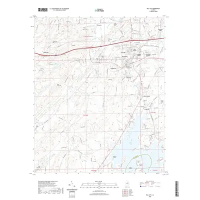 2020 Pell City2020 Print · USGSCovers Talladega County, including Pell City, Stewarts, and other nearby areas
 - 2020 Map of Columbiana, 2020 Print
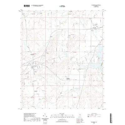 2020 Columbiana2020 Print · USGSCovers Talladega County, including Chelsea, Columbiana, and other nearby areas
 - 2020 Map of Eastaboga, 2020 Print
 2020 Eastaboga2020 Print · USGSCovers Talladega County, including Oxford, Lincoln, and other nearby areas
 - 2020 Map of Talladega Springs, 2020 Print
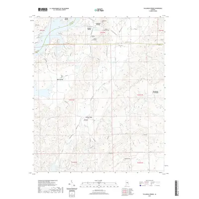 2020 Talladega Springs2020 Print · USGSCovers Talladega County, including Talladega Springs, Blue Springs, and other nearby areas
 - 2020 Map of Harpersville, 2020 Print
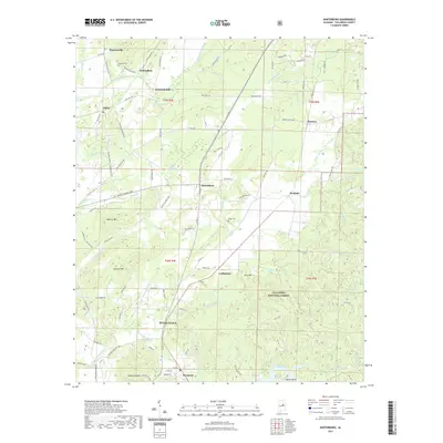
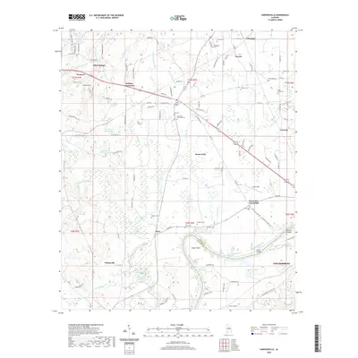 2020 Harpersville2020 Print · USGSCovers Talladega County, including Childersburg, Vincent, and other nearby areas
 - 2021 Map of Munford, 2021 Print
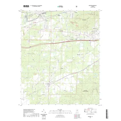 2021 Munford2021 Print · USGSCovers Talladega County, including Oxford, Anniston, and other nearby areas
 - 2021 Map of Winterboro, 2021 Print
 2021 Winterboro2021 Print · USGSCovers Talladega County, including Sylacauga, Risers, and other nearby areas
 - 2021 Map of Ironaton, 2021 Print
 2021 Ironaton2021 Print · USGSCovers Talladega County, including Chinnabee, McElderry, and other nearby areas
 - 2021 Map of Bulls Gap, 2021 Print
 2021 Bulls Gap2021 Print · USGSCovers Talladega County, including Roselle, Midway, and other nearby areas
 - 2021 Map of Talladega, 2021 Print
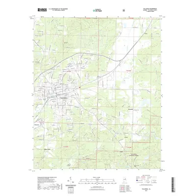 2021 Talladega2021 Print · USGSCovers Talladega County, including Talladega, Waldo, and other nearby areas
 - 2021 Map of Sylacauga East, 2021 Print
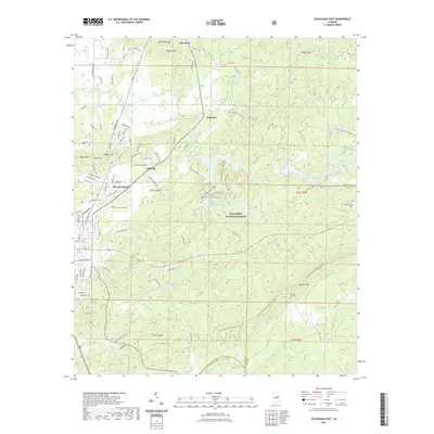 2021 Sylacauga East2021 Print · USGSCovers Talladega County, including Sylacauga, Liberty Hill, and other nearby areas
 - 2021 Map of Cheaha Mountain, 2021 Print
 2021 Cheaha Mountain2021 Print · USGSCovers Talladega County, including Union, Cleburne County, and other nearby areas
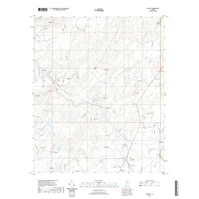
 - 2021 Map of Oxford, 2021 Print
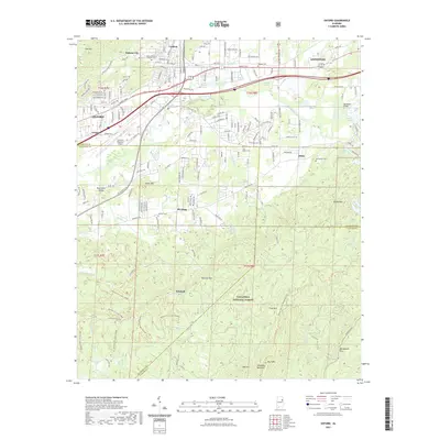 2021 Oxford2021 Print · USGSCovers Talladega County, including Oxford, Anniston, and other nearby areas
 - 2021 Map of Clairmont Springs, 2021 Print
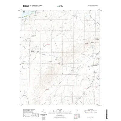
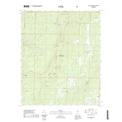
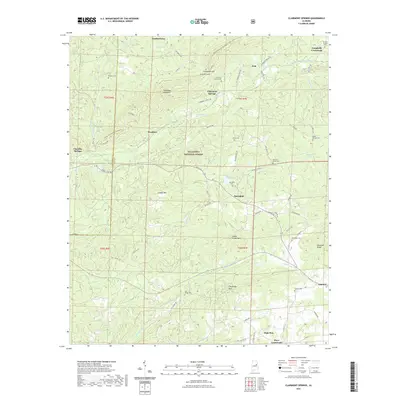 2021 Clairmont Springs2021 Print · USGSCovers Talladega County, including Ashland, High Pine, and other nearby areas
 - 2021 Map of Porter Gap, 2021 Print
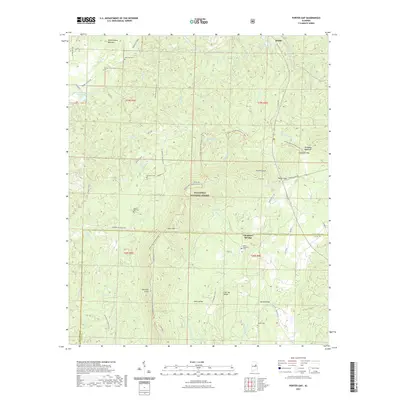 2021 Porter Gap2021 Print · USGSCovers Talladega County, including Waldo, Chambers Springs, and other nearby areas
Showing maps 1-25 of 52
Top cities of Talladega County
- Talladega historical maps
- Sylacauga historical maps
- Lincoln historical maps
- Childersburg historical maps
- Fayetteville historical maps
- Munford historical maps
See more
Frequently asked questions
- What are the different types of historical maps available for Talladega County?
- What is the oldest map of Talladega County?
- Where can I purchase historical maps of Talladega County for my home or office?
- Where can I download high-res historical maps of Talladega County?
- Are there historical topographic maps available for Talladega County?
- Is there historical aerial imagery available for Talladega County?
- Where are historical maps of Talladega County sourced from?