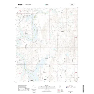
2020 Map of Wilsonville
USGS Topo · Published 2020About this map
Lay Lake and its intricate shoreline dominate the geography of this area, marking the boundary between Shelby and Talladega counties. In the northwest, the settlement of Wilsonville is defined by a dense network of local roads such as McGowin Rd and Hebb Rd, while Shelby Shores and Paradise Cove illustrate more recent residential development along the waterfront. The interior landscape is dotted with ancestral markers, including the Fort Williams Cem and the small rural community of Fayetteville.
Find a feature on this map
112 named features on this map. Tap any name to fly to it.
Don’t see what you’re looking for? This feature index may not catch every label — zoom into the map to look around manually.
Map Details
Editions of this 2020 Wilsonville Map
This is the sole edition of this map. No revisions or reprints were ever made.
Other maps of this area

1890 · Bessemer
USGS Topo · 1:125,000

1890 · Talladega
USGS Topo · 1:125,000

1892 · Talladega
USGS Topo · 1:125,000

1892 · Bessemer
USGS Topo · 1:125,000

1906 · Vandiver
USGS Topo · 1:62,500

1908 · Vandiver
USGS Topo · 1:62,500

1909 · Columbiana
USGS Topo · 1:62,500

1911 · Columbiana
USGS Topo · 1:62,500

1915 · Gantts Quarry
USGS Topo · 1:48,000

1917 · Gantts Quarry
USGS Topo · 1:62,500