
1917 Map of Gantts Quarry
USGS Topo · Published 1917About this map
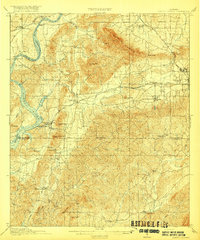
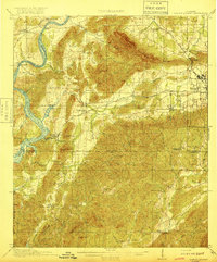
Gantts Quarry and the neighboring industrial hub of Sylacauga dominate the eastern landscape of this Alabama survey, where the mining of white marble shaped the local economy. The terrain is defined by the ridge of Kahatchee Mountain and the winding course of the Coosa River to the west. Transportation is heavily influenced by the presence of three major lines: the Louisville and Nashville RR, the Central of Georgia Ry, and the Southern Ry, which converge to serve the quarries and mills. In the river lowlands, transit relied on landmarks like Mc Gowan Ferry and Owens Ferry. Rural life is marked by several neighborhood schools, including Shelving Rock School and Estelle School, while smaller industrial sites like Eureka Quarry and Looneys Mill dot the drainages of Peckerwood Creek and Cedar Creek.
Find a feature on this map
60 named features on this map. Tap any name to fly to it.
Don’t see what you’re looking for? This feature index may not catch every label — zoom into the map to look around manually.
Map Details
Editions of this 1917 Gantts Quarry Map
3 editions found
Other maps of this area

1890 · Bessemer
USGS Topo · 1:125,000

1890 · Talladega
USGS Topo · 1:125,000

1891 · Clanton
USGS Topo · 1:125,000

1892 · Talladega
USGS Topo · 1:125,000

1892 · Bessemer
USGS Topo · 1:125,000

1901 · Wetumpka
USGS Topo · 1:125,000

1903 · Wetumpka
USGS Topo · 1:125,000

1906 · Vandiver
USGS Topo · 1:62,500

1908 · Vandiver
USGS Topo · 1:62,500

1909 · Columbiana
USGS Topo · 1:62,500