Old Maps of Fayetteville, Alabama for Metal Detecting
Plan your next treasure hunt with 15 historic maps of Fayetteville. Find old homesites, ghost towns, trails, and gathering spots that may be lost to time — perfect for identifying promising metal detecting locations.
- Locate forgotten sites: Uncover places like long-lost settlements, abandoned rail lines, or gathering spots.
- Plan better hunts: Use map overlays combined with LiDAR or satellite views to narrow in on historically rich areas.
- Made for detectorists: Thousands of hobbyists use these maps to discover relics, coins, and hidden history.
Use these historic maps to boost your research and find new opportunities beneath the surface of Fayetteville.
Fayetteville, AL maps
(15)- 1890 Map of Talladega
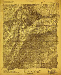
 1890 Talladega1890 Print · USGSTalladega and the surrounding river valleys are captured here in the late nineteenth century as the railroad and river economy flourished. Trace the locations of historic river crossings like Old Kymulga Ferry and local landmarks such as Odens Mill.
 - 1892 Map of Talladega
 1892 Talladega1892 Print · USGSTalladega County and the Coosa River valley are captured here in the late nineteenth century as the regional rail network expanded through the mountains. Researchers can locate old river crossings like Chancelors Ferry, rural landmarks such as Edwards Store, and early hubs like Childersburgh.6 unique versions available
 - 1915 Map of Gantts Quarry
 1915 Gantts Quarry1915 Print · USGSTalladega and Shelby counties appear here during the height of the early twentieth-century marble boom. Researchers can trace the rail-driven economy near Sylacauga and locate family landmarks like Oak Grove Church, Gantts Quarry, and Center Hill School.4 unique versions available
 - 1917 Map of Gantts Quarry
 1917 Gantts Quarry1917 Print · USGSThe marble-rich corridor between the Coosa River and Sylacauga is captured here during the height of the early twentieth-century quarrying boom. Researchers can trace the rail-and-river economy through landmarks like Gantts Quarry, Mc Gowan Ferry, and Eureka Quarry.3 unique versions available
 - 1953 Map of Birmingham, 1964 Print
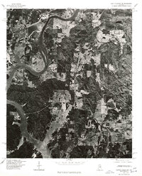
 1953 Birmingham1964 Print · USGSCentral Alabama at mid-century shows a landscape defined by industrial expansion and the iron-rich ridges surrounding Birmingham. Researchers can trace the extensive rail networks of the L & N RR or locate historic federal sites like the Anniston Ordnance Depot.4 unique versions available
 - 1956 Map of Birmingham
 1956 Birmingham1956 Print · USGSCentral Alabama in the mid-fifties exhibits a landscape of growing cities and deep-rooted industrial corridors. Genealogists and historians can trace the development of suburban Mountain Brook or locate regional hubs like Sylacauga and Jasper.
 - 1957 Map of Birmingham
 1957 Birmingham1957 Print · USGSNorth-Central Alabama in the mid-fifties is an industrial powerhouse centered on the steel valleys and sprawling iron ridges. Genealogists and historians can trace the rail-linked growth of Birmingham and Tuscaloosa, or locate rural landmarks like Talladega College and the Anniston Ordnance Depot.
 - 1975 Map of Gantts Quarry NW, 1977 Print
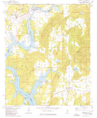
 1975 Gantts Quarry NW1977 Print · USGSThe mid-Alabama landscape comes into focus in the mid-1970s as the Coosa River winds toward the settlement of Wilsonville. Researchers can trace the wooded shorelines and rural clearings surrounding the wide waters of Lay Lake.
 - 1980 Map of Wilsonville
 1980 Wilsonville1980 Print · USGSThe Shelby and Talladega county lines meet along the impounded Coosa River in the late seventies. Researchers can trace the river's influence on local life, from the Perkins Ferry site to rural landmarks like Kahatchee Cem and Shelby Shores.2 unique versions available
 - 1984 Map of Birmingham South, 1985 Print
 1984 Birmingham South1985 Print · USGSThe Birmingham metropolitan region and the Coosa River valley are shown here in the mid-eighties as suburban growth expanded south into the ridges. Genealogists and local historians can trace the development of communities from Bessemer to Sylacauga alongside the Lay Lake shoreline and the Talladega National Forest.2 unique versions available
 - 2011 Map of Wilsonville, 2011 Print
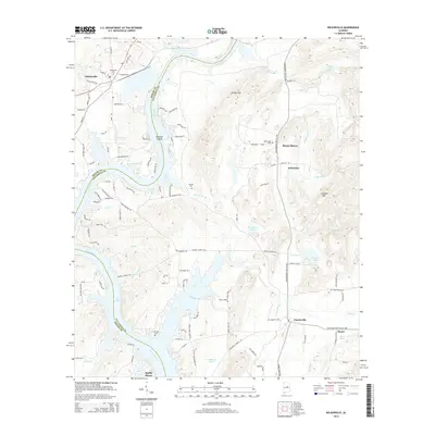
 2011 Wilsonville2011 Print · USGSCovers Fayetteville, including Wilsonville, Talladega Springs, and other nearby areas
 - 2014 Map of Wilsonville, 2014 Print
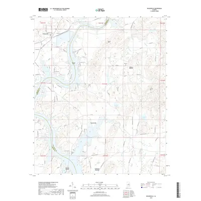
 2014 Wilsonville2014 Print · USGSCovers Fayetteville, including Wilsonville, Talladega Springs, and other nearby areas
 - 2018 Map of Wilsonville, 2018 Print
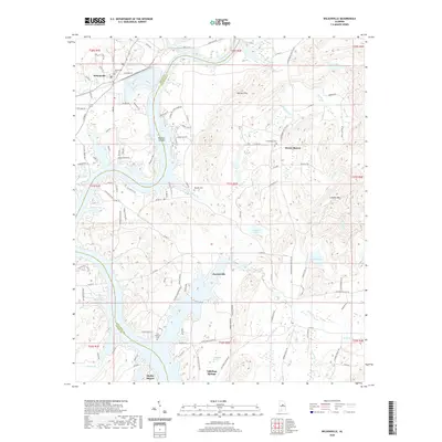
 2018 Wilsonville2018 Print · USGSCovers Fayetteville, including Wilsonville, Talladega Springs, and other nearby areas
 - 2020 Map of Wilsonville, 2020 Print
 2020 Wilsonville2020 Print · USGSCovers Fayetteville, including Wilsonville, Talladega Springs, and other nearby areas
 - 2024 Map of Wilsonville, 2024 Print
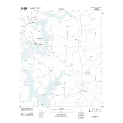
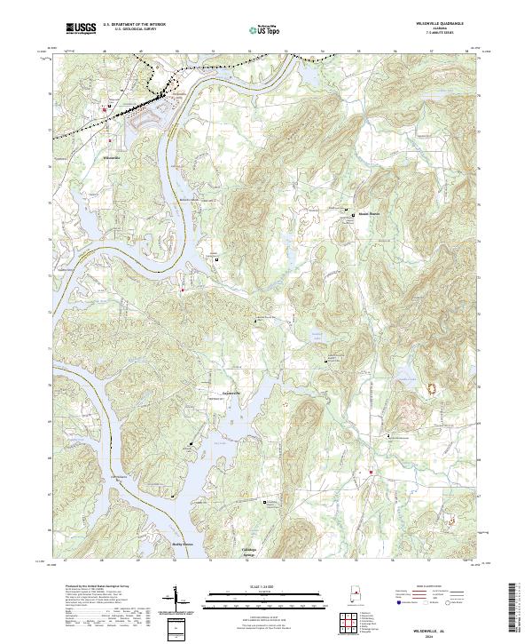 2024 Wilsonville2024 Print · USGSThe Coosa River valley near Wilsonville is shown here during a time when river crossings and rural church life defined the region. Researchers can trace ancestral sites like Heaslet Family Cem or find historic river access at McGowans Ferry and Fort Williams Ferry.
End of results
Showing maps 1-15 of 15
Top cities near Fayetteville
- Hoover historical maps
- Chelsea historical maps
- Sylacauga historical maps
- Childersburg historical maps
- Columbiana historical maps
- Vincent historical maps
See more
Frequently asked questions
- What are the different types of historical maps available for Fayetteville?
- What is the oldest map of Fayetteville?
- Where can I purchase historical maps of Fayetteville for my home or office?
- Where can I download high-res historical maps of Fayetteville?
- Are there historical topographic maps available for Fayetteville?
- Is there historical aerial imagery available for Fayetteville?
- Where are historical maps of Fayetteville sourced from?