Old Maps of Daviston, Alabama for Metal Detecting
Plan your next treasure hunt with 17 historic maps of Daviston. Find old homesites, ghost towns, trails, and gathering spots that may be lost to time — perfect for identifying promising metal detecting locations.
- Locate forgotten sites: Uncover places like long-lost settlements, abandoned rail lines, or gathering spots.
- Plan better hunts: Use map overlays combined with LiDAR or satellite views to narrow in on historically rich areas.
- Made for detectorists: Thousands of hobbyists use these maps to discover relics, coins, and hidden history.
Use these historic maps to boost your research and find new opportunities beneath the surface of Daviston.
Daviston, AL maps
(17)- 1891 Map of Ashland
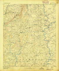 1891 Ashland1891 Print · USGSEast Central Alabama in the late nineteenth century is defined by the sharp ridges of the mountains and the vital crossings of the Tallapoosa River. Genealogists can trace family movements across Malone's Ferry or locate vanished sites like the Pine Tuckey Town Site and Ironaton.5 unique versions available
 - 1953 Map of Atlanta, 1965 Print
 1953 Atlanta1965 Print · USGSThe growing Atlanta metro and the industrial corridors of Eastern Alabama are captured here during the mid-century transition. Researchers can trace the rail-to-road shift through hubs like Anniston and La Grange or locate sites within Fort McClellan.2 unique versions available
 - 1957 Map of Atlanta
 1957 Atlanta1957 Print · USGSAtlanta and the Alabama borderlands appear here in the mid-fifties, capturing the region's post-war suburban and industrial transition. Trace the development of early transport hubs and military sites like Fort McPherson, Anniston, and the Kennesaw Mountain National Battlefield Park.
 - 1958 Map of Atlanta
 1958 Atlanta1958 Print · USGSMid-century Georgia and Alabama are shown in this regional study of the corridor between the Chattahoochee River and the Appalachian foothills. Local historians can trace the development of suburban Atlanta alongside vital landmarks like Stone Mountain, Dobbins AFB, and the Seaboard Air Line rail routes.
 - 1969 Map of Daviston, 1973 Print
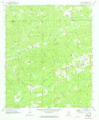 1969 Daviston1973 Print · USGSThe rural borderlands of Tallapoosa and Clay counties come into focus during the late 1960s. Researchers can trace local heritage through sites like the Zana Training School, the Old Vickers Cemetery, and the Rocky Mount Lookout Tower.
 - 1969 Map of Wadley South, 1973 Print
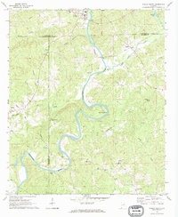 1969 Wadley South1973 Print · USGSThe Tallapoosa River valley in eastern Alabama was a region of remote crossroads and river bends in the late sixties. Genealogists and local historians can trace the foundations of communities like Frog Eye, Abanda, and the family-named Sims Cem or Bibbys Ferry.
 - 1978 Map of La Grange, 1980 Print
 1978 La Grange1980 Print · USGSThe Alabama-Georgia borderlands are captured here in the late seventies, just as the newly formed West Point Lake reshaped the eastern landscape. Local historians can trace the Seaboard Coast Line rail corridor through hubs like Roanoke, Ashland, and Lineville.
 - 2011 Map of Wadley South, 2011 Print
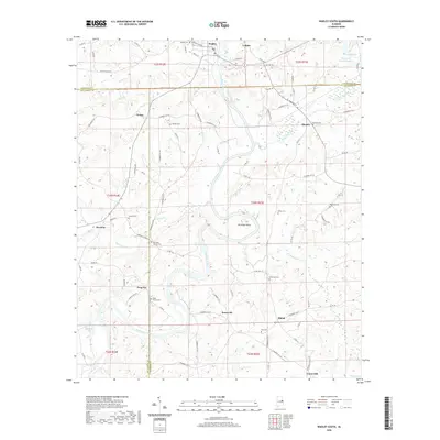
 2011 Wadley South2011 Print · USGSCovers Daviston, including Wadley, Blake, and other nearby areas
 - 2011 Map of Daviston, 2011 Print
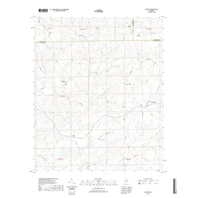
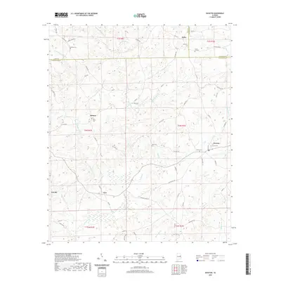
 2011 Daviston2011 Print · USGSCovers Daviston, including New Site, Motley, and other nearby areas
 - 2014 Map of Wadley South, 2014 Print
 2014 Wadley South2014 Print · USGSCovers Daviston, including Wadley, Blake, and other nearby areas
 - 2014 Map of Daviston, 2014 Print
 2014 Daviston2014 Print · USGSCovers Daviston, including New Site, Motley, and other nearby areas
 - 2018 Map of Wadley South, 2018 Print
 2018 Wadley South2018 Print · USGSCovers Daviston, including Wadley, Blake, and other nearby areas
 - 2018 Map of Daviston, 2018 Print
 2018 Daviston2018 Print · USGSCovers Daviston, including New Site, Motley, and other nearby areas
 - 2020 Map of Wadley South, 2020 Print
 2020 Wadley South2020 Print · USGSCovers Daviston, including Wadley, Blake, and other nearby areas
 - 2020 Map of Daviston, 2020 Print
 2020 Daviston2020 Print · USGSCovers Daviston, including New Site, Motley, and other nearby areas
 - 2024 Map of Wadley South, 2024 Print
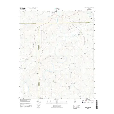
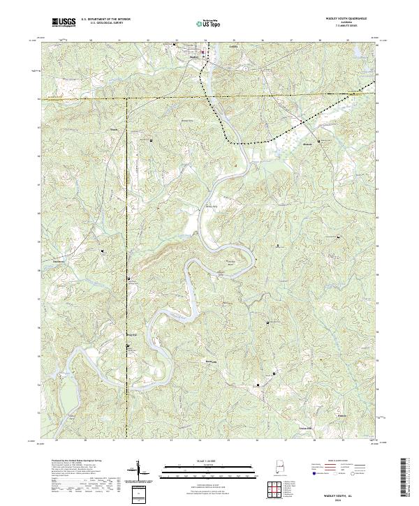 2024 Wadley South2024 Print · USGSEastern Alabama's river-driven geography is preserved here, showing the communities of Wadley and Frog Eye along the Tallapoosa River. Local historians can trace old river crossings at Bishop Ferry and Wait Ferry alongside several family-named cemeteries.
 - 2024 Map of Daviston, 2024 Print
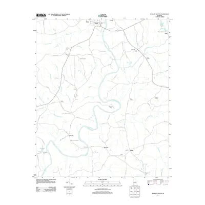
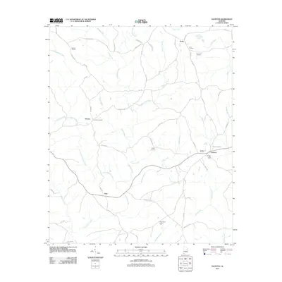
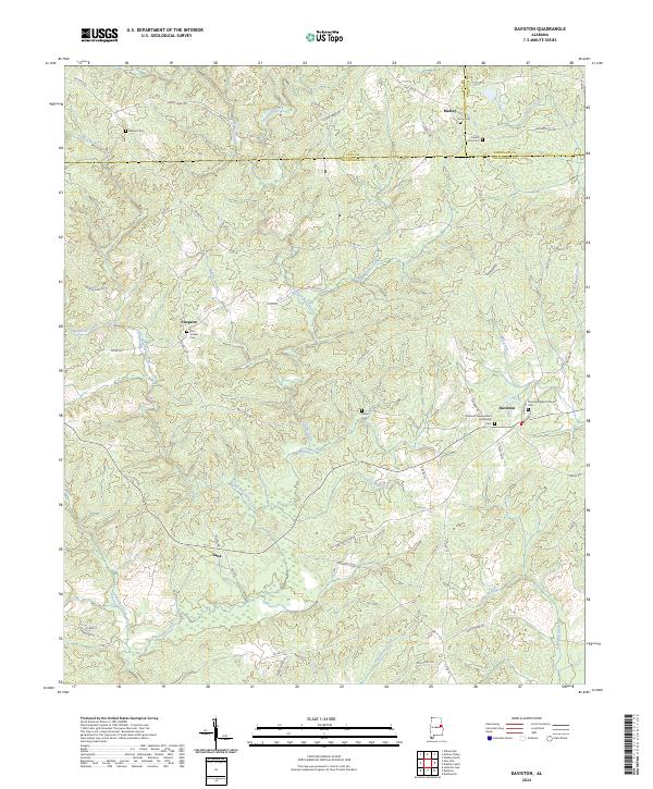 2024 Daviston2024 Print · USGSCurrent-day Tallapoosa County maintains its rural character where three counties converge near Daviston. Researchers can trace family history through numerous legacy burial sites and congregations, including Old Vickers Cem, Union Cem, and the Daviston Baptist Church.
End of results
Showing maps 1-17 of 17
Top cities near Daviston
- Alexander City historical maps
- Dadeville historical maps
- LaFayette historical maps
- Lineville historical maps
- Ashland historical maps
- New Site historical maps
See more
Frequently asked questions
- What are the different types of historical maps available for Daviston?
- What is the oldest map of Daviston?
- Where can I purchase historical maps of Daviston for my home or office?
- Where can I download high-res historical maps of Daviston?
- Are there historical topographic maps available for Daviston?
- Is there historical aerial imagery available for Daviston?
- Where are historical maps of Daviston sourced from?