Old Maps of Spinks, Alabama for Metal Detecting
Plan your next treasure hunt with 12 historic maps of Spinks. Find old homesites, ghost towns, trails, and gathering spots that may be lost to time — perfect for identifying promising metal detecting locations.
- Locate forgotten sites: Uncover places like long-lost settlements, abandoned rail lines, or gathering spots.
- Plan better hunts: Use map overlays combined with LiDAR or satellite views to narrow in on historically rich areas.
- Made for detectorists: Thousands of hobbyists use these maps to discover relics, coins, and hidden history.
Use these historic maps to boost your research and find new opportunities beneath the surface of Spinks.
Spinks, AL maps
(12)- 1906 Map of Dadeville
 1906 Dadeville1906 Print · USGSThe Tallapoosa River valley is shown at the turn of the century, defined by its numerous river ferries and a burgeoning rail network. Genealogists can trace family roots through rural landmarks like Rocky Ridge Church, Mc Ritchie Mill, and the many river crossings including McCarty Ferry.3 unique versions available
 - 1955 Map of Phenix City, 1964 Print
 1955 Phenix City1964 Print · USGSPost-war Alabama and Georgia meet along the Chattahoochee River as industry and military installations expand. Trace the rail lines of the Central of Georgia through towns like Opelika, Tuskegee, and Alexander City.3 unique versions available
 - 1957 Map of Phenix City
 1957 Phenix City1957 Print · USGSThe Alabama-Georgia borderlands are captured here in the mid-fifties, centered on the bustling river crossing at Phenix City and Columbus. Researchers can trace the mid-century footprint of the Fort Benning Military Reservation or locate smaller textile and railroad towns like Langdale and Camp Hill.
 - 1958 Map of Phenix City
 1958 Phenix City1958 Print · USGSThe Alabama-Georgia borderlands thrive during the late fifties, anchored by the river-driven industry of Columbus and Phenix City. Researchers can trace the mid-century footprints of Fort Benning, Auburn, and the textile towns of Fairfax and Lanett.
 - 1971 Map of Camp Hill SE, 1977 Print
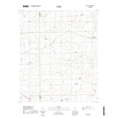
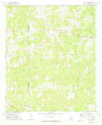 1971 Camp Hill SE1977 Print · USGSEastern Alabama's rural landscapes were still defined by local church congregations and steam-era rail lines in the early seventies. Genealogists can locate family landmarks like Plainview Sch, Jones Mill, and several community churches including Mt Sinai Ch.2 unique versions available
 - 1981 Map of Camp Hill SE
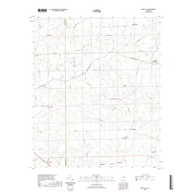
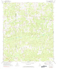 1981 Camp Hill SE1981 Print · USGSChambers County and eastern Tallapoosa County appear here in the early 1970s, showing a landscape of rural crossroads and historic congregations. Trace family roots at Mt Sinai Ch, New Harmony, or along the Central of Georgia rail line.
 - 1981 Map of Opelika, 1982 Print
 1981 Opelika1982 Print · USGSEast Alabama and West Georgia appear in the early 1980s as a region defined by massive river reservoirs and the storied textile corridor. Genealogists can trace family roots through the valley towns of Lanett and Fairfax or locate sites near Horseshoe Bend National Military Park.
 - 2011 Map of Camp Hill SE, 2011 Print
 2011 Camp Hill SE2011 Print · USGSCovers Spinks, including New Harmony, Culebra, and other nearby areas
 - 2014 Map of Camp Hill SE, 2014 Print
 2014 Camp Hill SE2014 Print · USGSCovers Spinks, including New Harmony, Culebra, and other nearby areas
 - 2018 Map of Camp Hill SE, 2018 Print
 2018 Camp Hill SE2018 Print · USGSCovers Spinks, including New Harmony, Culebra, and other nearby areas
 - 2020 Map of Camp Hill SE, 2020 Print
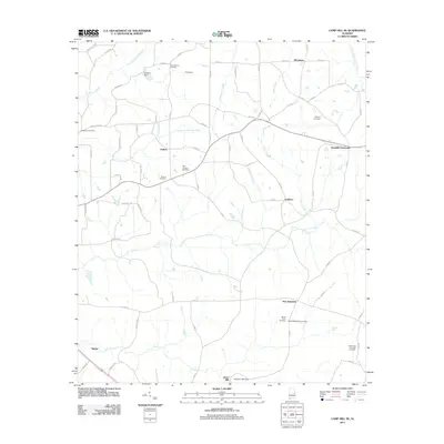
 2020 Camp Hill SE2020 Print · USGSCovers Spinks, including New Harmony, Culebra, and other nearby areas
 - 2024 Map of Camp Hill SE, 2024 Print
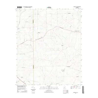
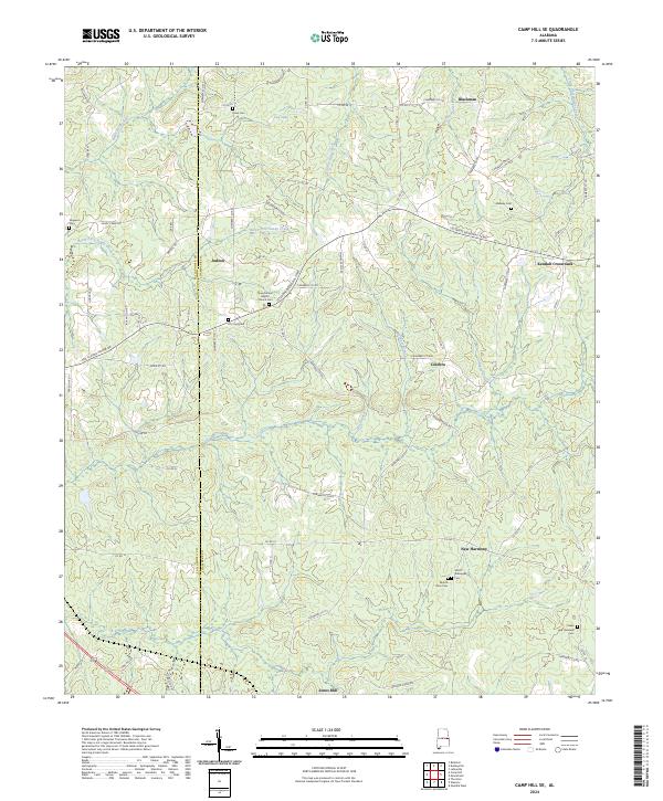 2024 Camp Hill SE2024 Print · USGSChambers and Tallapoosa counties in the current era maintain a quiet, rural character defined by old family crossroads and creek-side settlements. Genealogists can trace decades of local history through sites like New Canaan Baptist Chruch Cem, Kendall Crossroads, and Smith - Willoughby Cem.
End of results
Showing maps 1-12 of 12
Top cities near Spinks
- Auburn historical maps
- Opelika historical maps
- Tallassee historical maps
- Dadeville historical maps
- LaFayette historical maps
- Camp Hill historical maps
See more
Frequently asked questions
- What are the different types of historical maps available for Spinks?
- What is the oldest map of Spinks?
- Where can I purchase historical maps of Spinks for my home or office?
- Where can I download high-res historical maps of Spinks?
- Are there historical topographic maps available for Spinks?
- Is there historical aerial imagery available for Spinks?
- Where are historical maps of Spinks sourced from?