Old Maps of Vance, Alabama for Academic Research
Study the evolution of Vance with 27 high-resolution historic maps. Whether you're teaching, researching, or modeling changes in land use, these maps provide essential visual documentation of urban, environmental, and geographic change.
- Analyze long-term change: Track patterns in development, transportation, and natural features.
- Ideal for environmental or urban studies: Support academic projects with primary historical map data.
- Use in the classroom or lab: Educators and researchers rely on these maps to bring historical context to life.
These maps are a powerful tool for teaching, research, and visualizing how Vance has changed over the decades.
Vance, AL maps
(27)- 1899 Map of Brookwood
 1899 Brookwood1899 Print · USGSCentral Alabama at the close of the nineteenth century is a landscape of growing mining towns and vital river crossings. Trace the early industrial rail lines like the Birmingham Mineral R. R. and locate family landmarks such as Weaver Mill, Pratt Ferry, and Providence Ch.4 unique versions available
 - 1931 Map of Cottondale
 1931 Cottondale1931 Print · USGSTuscaloosa County at the start of the 1930s shows a landscape of timber rails and rural churches. Genealogists and historians can trace the Kaul Lumber Co (Abandoned) line or locate old community centers like Andrews Chapel and Duncanville.
 - 1934 Map of Cottondale
 1934 Cottondale1934 Print · USGSDuring the mid-1930s, the rail corridors of the Southern Railway and Mobile and Ohio Railroad shaped the growth of eastern Tuscaloosa County. Genealogists can trace family footprints near Cottondale and Duncanville or locate long-standing landmarks like Emerson Chapel and Howell Sch.3 unique versions available
 - 1934 Map of Blocton
 1934 Blocton1934 Print · USGSCentral Alabama's coal and rail corridor comes to life in the 1930s, showing the intersection of the Cahaba River and intensive industrial development. Researchers can locate old mining sites like Hill Creek Mine and numerous rural landmarks including Rock Institute Sch and Ada Chapel.3 unique versions available
 - 1940 Map of Blocton
 1940 Blocton1940 Print · USGSCentral Alabama's mining and river country is captured here just before the Second World War, centered on the coal hubs of Bibb County. Researchers can trace family roots through numerous rural landmarks like Mt Olivet Ch, Gray Hill Sch, and the rail junction at Blocton Junc.2 unique versions available
 - 1953 Map of Birmingham, 1964 Print
 1953 Birmingham1964 Print · USGSCentral Alabama at mid-century shows a landscape defined by industrial expansion and the iron-rich ridges surrounding Birmingham. Researchers can trace the extensive rail networks of the L & N RR or locate historic federal sites like the Anniston Ordnance Depot.4 unique versions available
 - 1956 Map of Birmingham
 1956 Birmingham1956 Print · USGSCentral Alabama in the mid-fifties exhibits a landscape of growing cities and deep-rooted industrial corridors. Genealogists and historians can trace the development of suburban Mountain Brook or locate regional hubs like Sylacauga and Jasper.
 - 1957 Map of Birmingham
 1957 Birmingham1957 Print · USGSNorth-Central Alabama in the mid-fifties is an industrial powerhouse centered on the steel valleys and sprawling iron ridges. Genealogists and historians can trace the rail-linked growth of Birmingham and Tuscaloosa, or locate rural landmarks like Talladega College and the Anniston Ordnance Depot.
 - 1969 Map of Coaling, 1972 Print
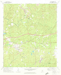 1969 Coaling1972 Print · USGSThe hills of Tuscaloosa County are shown during the late sixties, a landscape where the Southern railroad line connects rural coal-mining centers. Genealogists can trace family names at Thomas Chapel (Cem), Pineview Sch, and the community of Coaling.3 unique versions available
 - 1979 Map of West Blocton West, 1980 Print
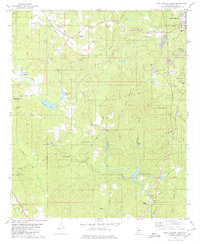 1979 West Blocton West1980 Print · USGSBibb County communities and coal works are documented in the late seventies as the industrial landscape shifted. Researchers can trace family sites like Johnstown Cem, locate old crossings at Smiths Ford, and follow the Old Railroad Grade.
 - 1980 Map of Woodstock
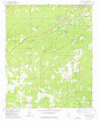 1980 Woodstock1980 Print · USGSThe Bibb and Tuscaloosa county line in the late seventies is a landscape defined by heavy rail transit and deep-rooted rural communities. Genealogists and historians can trace family sites like Shuttlesworth Cem, Union Cumberland Ch, and the old Old Grade roadbed.2 unique versions available
 - 1984 Map of Tuscaloosa, 1985 Print
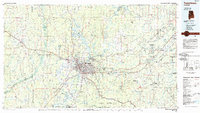 1984 Tuscaloosa1985 Print · USGSWest-central Alabama centers on the mid-1980s expansion of the university and the river economy. Genealogists and historians can trace small-town connections through Burchfield Store, North Johns, and the rail lines of the Southern railroad.2 unique versions available
 - 2011 Map of Woodstock, 2011 Print
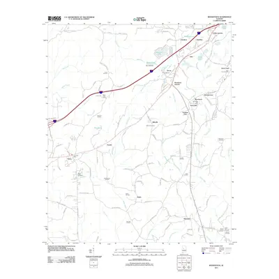 2011 Woodstock2011 Print · USGSTuscaloosa and Bibb counties are shown here as they appeared in the early twenty-first century, centered on the growing corridor between Vance and Woodstock. Genealogists can locate numerous local burial sites like Union Cemetery and Hopewell Cemetery or trace the Old Stagecoach Road.
 - 2011 Map of West Blocton West, 2011 Print
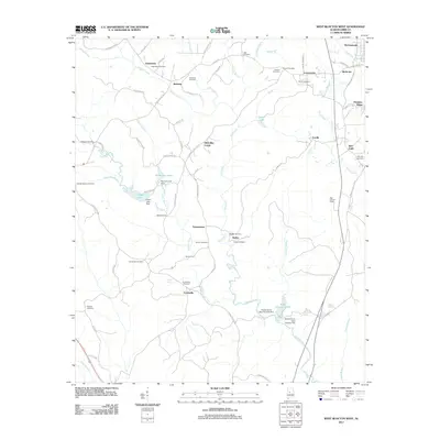 2011 West Blocton West2011 Print · USGSBibb and Tuscaloosa Counties are shown here during the early twenty-first century, featuring a landscape of creek-side settlements and family burial grounds. Researchers can locate ancestral sites like Johnstown Cemetery, the old Shallow Ford crossing, and the Bibb Lookout Tower.
 - 2011 Map of Coaling, 2011 Print
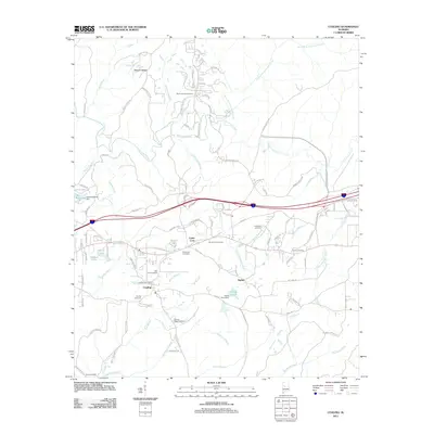 2011 Coaling2011 Print · USGSThe rural communities of Tuscaloosa County are documented here in the early twenty-first century as modern roads began to reshape the landscape. Researchers can trace local lineage through numerous sites like Big Hurricane Cemetery, Mount Zion Cemetery, and the Coaling Post Office.
 - 2014 Map of Coaling, 2014 Print
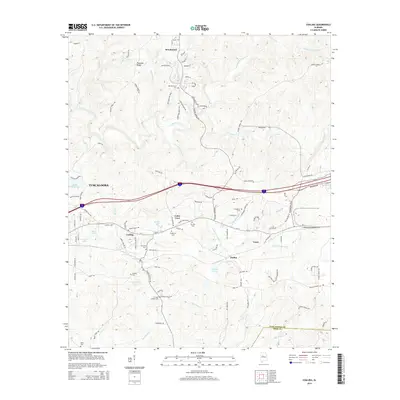 2014 Coaling2014 Print · USGSEastern Tuscaloosa County is shown here in the early 2010s as its small rural communities continued to evolve around the Interstate corridor. Genealogists can locate family landmarks like Mt Zion Cemetery, Coaling Cemetery, and Thomas Chapel Cemetery among the creeks and ridges.
 - 2014 Map of West Blocton West, 2014 Print
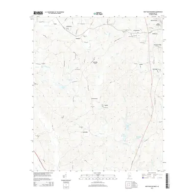 2014 West Blocton West2014 Print · USGSThe crossroads of Bibb and Tuscaloosa Counties are preserved here during the mid-2010s, showing a landscape of rural hamlets and family-run lands. Genealogists can trace local heritage through numerous burial sites like Johnstown Cem and Moffat Cem, or find the locations of Scottsville and Vernontown.
 - 2014 Map of Woodstock, 2014 Print
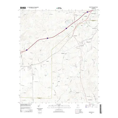 2014 Woodstock2014 Print · USGSThe borderlands of Tuscaloosa and Bibb counties were thriving hubs of transit and community in the early twenty-first century. Researchers can locate numerous family and community burial sites like Union Cem and Hickory Hill Cem near settlements such as Woodstock and West Blocton.
 - 2018 Map of West Blocton West, 2018 Print
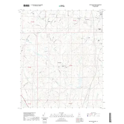 2018 West Blocton West2018 Print · USGSTuscaloosa and Bibb Counties at the start of the twenty-first century reveal a landscape of persistent rural hamlets and family landholdings. Researchers can trace local lineages through numerous sites like Belchers Cemetery, Friday Cemetery, and the community at Vernontown.
 - 2018 Map of Woodstock, 2018 Print
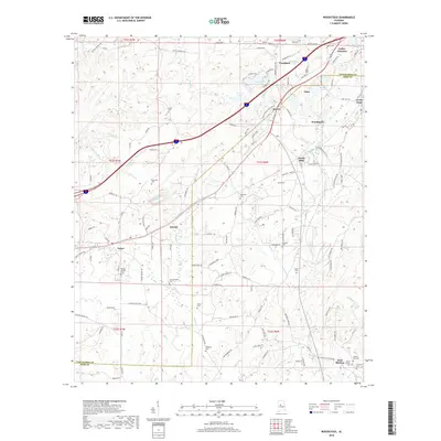 2018 Woodstock2018 Print · USGSTuscaloosa and Bibb counties come together in this modern survey of the Alabama hill country during the late twenty-tens. Genealogists can locate several family burial grounds, including Shuttlesworth Cem and Thrasher Cem, near settlements like Docray and Caffee Junction.
 - 2018 Map of Coaling, 2018 Print
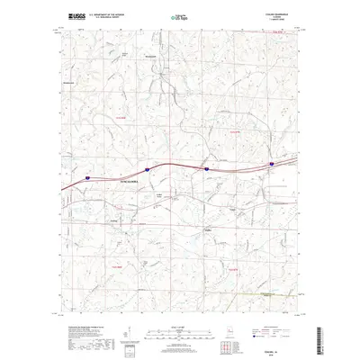 2018 Coaling2018 Print · USGSEastern Tuscaloosa County is documented here during the late 2010s, showcasing the rural character of the region. Researchers can locate numerous historic burial sites and family-named landmarks like Thomas Chapel Cem, Dudley, and Jemison Mill Cr.
 - 2020 Map of West Blocton West, 2020 Print
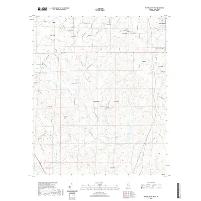 2020 West Blocton West2020 Print · USGSBibb County's rural landscape is mapped here at the start of the 2020s, showing a quiet terrain of ridges and creek valleys. Genealogists can trace family heritage through numerous burial sites including Johnstown Cem, Belchers Cem, and the Friday Cem.
 - 2020 Map of Woodstock, 2020 Print
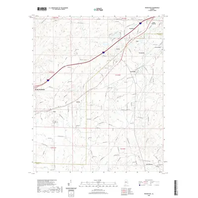 2020 Woodstock2020 Print · USGSThe borderlands of Tuscaloosa and Bibb Counties are revealed in the early twenty-first century as a network of crossroads and family burial sites. Genealogists can trace family names at Shuttlesworth Cem, Thrasher Cem, and Hopewell Cem near Woodstock.
 - 2020 Map of Coaling, 2020 Print
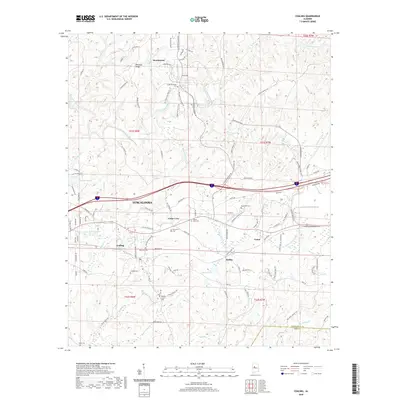 2020 Coaling2020 Print · USGSTuscaloosa County at the start of the 2020s shows a mix of growing residential communities and long-established rural landmarks. Genealogists and local historians can trace family locations through numerous sites like Thomas Chapel Cem, Mount Zion Cem, and the settlement at Cedar Cove.
 - 2024 Map of West Blocton West, 2024 Print
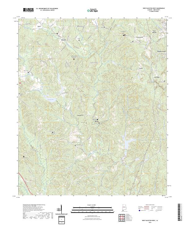 2024 West Blocton West2024 Print · USGSBibb County's rural communities and family cemeteries are documented here in the early twenty-first century. Researchers can trace ancestral roots through sites like Johnstown Cem, Moffat Cem, and the community surrounding Vernontown.
Showing maps 1-25 of 27
Top cities near Vance
- Birmingham historical maps
- Tuscaloosa historical maps
- Bessemer historical maps
- Hueytown historical maps
- McCalla historical maps
- Abernant historical maps
See more
Frequently asked questions
- What are the different types of historical maps available for Vance?
- What is the oldest map of Vance?
- Where can I purchase historical maps of Vance for my home or office?
- Where can I download high-res historical maps of Vance?
- Are there historical topographic maps available for Vance?
- Is there historical aerial imagery available for Vance?
- Where are historical maps of Vance sourced from?