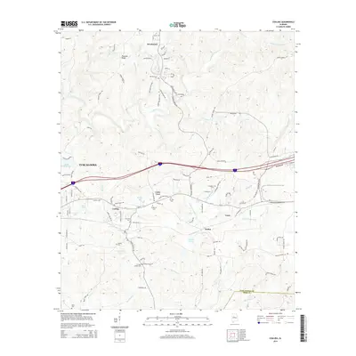
2014 Map of Coaling
USGS Topo · Published 2014About this map
Coaling and the surrounding eastern Tuscaloosa County communities appear here as they were in the early 21st century. The landscape is defined by the dense network of tributaries feeding into Hurricane Creek, including Little Hurricane Creek and Blanchet Branch. This area shows a distinct pattern of small, localized settlements and rural road networks like Hagler Coaling Road and Wire Road, reflecting a history of community development tied to both geographic ridges and local waterways.
Find a feature on this map
107 named features on this map. Tap any name to fly to it.
Don’t see what you’re looking for? This feature index may not catch every label — zoom into the map to look around manually.
Map Details
Editions of this 2014 Coaling Map
This is the sole edition of this map. No revisions or reprints were ever made.
Other maps of this area

1899 · Brookwood
USGS Topo · 1:125,000

1927 · Adger
USGS Topo · 1:48,000

1929 · Searles
USGS Topo · 1:48,000

1931 · Cottondale
USGS Topo · 1:48,000

1932 · Yolande
USGS Topo · 1:62,500

1934 · Searles
USGS Topo · 1:62,500

1934 · Cottondale
USGS Topo · 1:62,500

1934 · Blocton
USGS Topo · 1:48,000

1935 · Yolande
USGS Topo · 1:62,500

1940 · Blocton
USGS Topo · 1:62,500