
1934 Map of Blocton
USGS Topo · Published 1934About this map
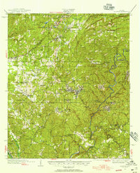
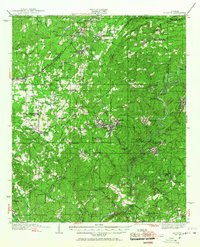
The Cahaba River and Little Cahaba River carve through this central Alabama landscape, which in the 1930s was defined by the industrial demands of the coal and iron belt. Extensive operations at the Hill Creek Mine sit north of West Blocton, where a complex network of the Southern and Mobile & Ohio RR lines facilitated the movement of resources through the hilly terrain. This survey, compiled in part from Air Corps aerial photographs, shows a densely settled corridor of mining towns and agricultural communities.
Find a feature on this map
56 named features on this map. Tap any name to fly to it.
Don’t see what you’re looking for? This feature index may not catch every label — zoom into the map to look around manually.
Map Details
Editions of this 1934 Blocton Map
3 editions found
Other maps of this area

1890 · Bessemer
USGS Topo · 1:125,000

1891 · Clanton
USGS Topo · 1:125,000

1892 · Bessemer
USGS Topo · 1:125,000

1899 · Brookwood
USGS Topo · 1:125,000

1905 · Bessemer Iron District
USGS Topo · 1:62,500

1907 · Bessemer Special
USGS Topo · 1:62,500

1910 · Montevallo
USGS Topo · 1:62,500

1927 · Adger
USGS Topo · 1:48,000

1929 · Searles
USGS Topo · 1:48,000

1931 · Cottondale
USGS Topo · 1:48,000