Old Maps of Coal Valley, Alabama for Academic Research
Study the evolution of Coal Valley with 12 high-resolution historic maps. Whether you're teaching, researching, or modeling changes in land use, these maps provide essential visual documentation of urban, environmental, and geographic change.
- Analyze long-term change: Track patterns in development, transportation, and natural features.
- Ideal for environmental or urban studies: Support academic projects with primary historical map data.
- Use in the classroom or lab: Educators and researchers rely on these maps to bring historical context to life.
These maps are a powerful tool for teaching, research, and visualizing how Coal Valley has changed over the decades.
Coal Valley, AL maps
(12)- 1893 Map of Jasper
 1893 Jasper1893 Print · USGSNorthern Alabama’s coal and timber country comes into focus in the 1890s as railroads began to penetrate the river valleys. Genealogists and historians can trace family-named river crossings like Miller Ferry and Baltimore Ford or early industry at Gamble Mines.5 unique versions available
 - 1949 Map of Oakman, 1972 Print
 1949 Oakman1972 Print · USGSThe Walker County coal and rail landscape comes alive in this post-war survey of the Oakman area. Researchers can trace the SOUTHERN railroad through the hills to locate Coal Valley, the Patton Hill Fire Tower, and local landmarks like Infant Hill Cemetery.2 unique versions available
 - 1951 Map of Oakman
 1951 Oakman1951 Print · USGSWalker and Fayette counties come into focus in the early fifties, showing the rail-dependent settlements of the coal region. Researchers can trace family history through several rural landmarks, including Mt Zion Ch, Infant Hill Cemetery, and the depot at Corona.2 unique versions available
 - 1953 Map of Birmingham, 1964 Print
 1953 Birmingham1964 Print · USGSCentral Alabama at mid-century shows a landscape defined by industrial expansion and the iron-rich ridges surrounding Birmingham. Researchers can trace the extensive rail networks of the L & N RR or locate historic federal sites like the Anniston Ordnance Depot.4 unique versions available
 - 1956 Map of Birmingham
 1956 Birmingham1956 Print · USGSCentral Alabama in the mid-fifties exhibits a landscape of growing cities and deep-rooted industrial corridors. Genealogists and historians can trace the development of suburban Mountain Brook or locate regional hubs like Sylacauga and Jasper.
 - 1957 Map of Birmingham
 1957 Birmingham1957 Print · USGSNorth-Central Alabama in the mid-fifties is an industrial powerhouse centered on the steel valleys and sprawling iron ridges. Genealogists and historians can trace the rail-linked growth of Birmingham and Tuscaloosa, or locate rural landmarks like Talladega College and the Anniston Ordnance Depot.
 - 1984 Map of Jasper, 1985 Print
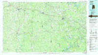 1984 Jasper1985 Print · USGSIn the mid-1980s, the Walker County coalfields were a complex web of rail lines and river terminals. Researchers can trace the industrial heritage of the Mulberry Fork and locate local landmarks like the Carbon Hill National Fish Hatchery or Saragossa Ch.2 unique versions available
 - 2011 Map of Oakman, 2011 Print
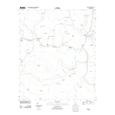 2011 Oakman2011 Print · USGSWalker County during the early twenty-first century reveals a landscape shaped by rural settlements and family heritage. Researchers can trace the lineage of local communities through numerous burial sites like Key Cemetery and landmarks such as the Patton Hill Fire Tower.
 - 2014 Map of Oakman, 2014 Print
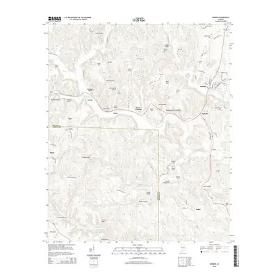 2014 Oakman2014 Print · USGSThe coal-mining country of Walker and Fayette Counties comes into focus in this early 21st-century record of Oakman and its neighboring hamlets. Researchers can trace family ties through numerous rural burial grounds like Patton Hill Cem and Woods Cem, or explore the terrain of Miner Hollow and Coal Valley.
 - 2018 Map of Oakman, 2018 Print
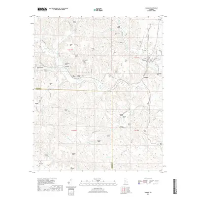 2018 Oakman2018 Print · USGSOakman and the surrounding hollows of Walker County appear in this recent survey, showing the enduring pattern of Alabama coal-country settlements. Genealogists can trace family landmarks like Key Cem, New Salem Cem, and the small community of West Corona.
 - 2020 Map of Oakman, 2020 Print
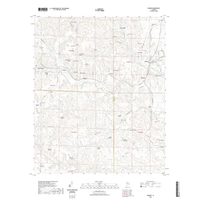 2020 Oakman2020 Print · USGSWalker County's rugged coal and timber country is documented here in the early twenty-first century. Genealogists and local researchers can locate numerous community landmarks such as Patton Hill Cem, Coalbed Hollow, and the settlement of Marietta.
 - 2024 Map of Oakman, 2024 Print
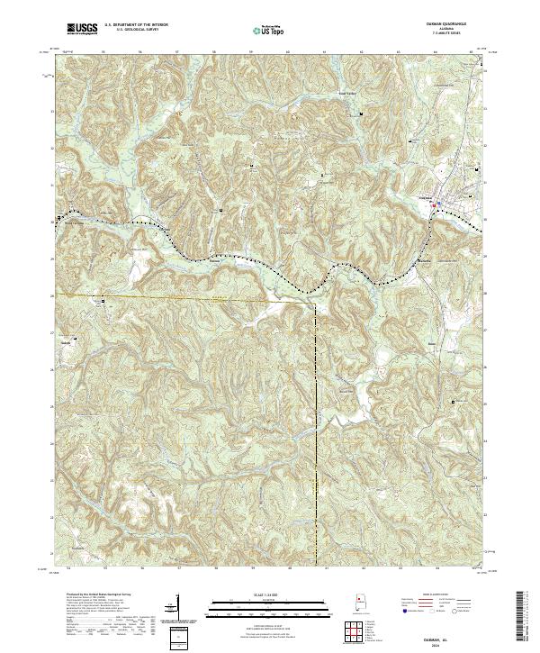 2024 Oakman2024 Print · USGSOakman and the surrounding Walker County coal country appear here in modern detail. Genealogists can trace family sites at Infant Hill Cem and Woods Cem, while exploring landmarks like The Backbone and the old community of Coal Valley.
End of results
Showing maps 1-12 of 12
Top cities near Coal Valley
- Jasper historical maps
- Carbon Hill historical maps
- Cordova historical maps
- Berry historical maps
- Parrish historical maps
- Oakman historical maps
See more
Frequently asked questions
- What are the different types of historical maps available for Coal Valley?
- What is the oldest map of Coal Valley?
- Where can I purchase historical maps of Coal Valley for my home or office?
- Where can I download high-res historical maps of Coal Valley?
- Are there historical topographic maps available for Coal Valley?
- Is there historical aerial imagery available for Coal Valley?
- Where are historical maps of Coal Valley sourced from?