2000s (21st Century) Maps of Nauvoo, Alabama
Explore 6 historic maps of Nauvoo from the 2000s (21st Century). These maps offer a rare glimpse into what life looked like during the 2000s — showing old roads, neighborhoods, homes, and landmarks that have changed or disappeared over time.
Whether you're researching your family's past, planning a metal detecting trip, or studying how Nauvoo's landscape evolved across the 2000s, these high-resolution maps are a powerful tool for exploring the history of this region.
- Focus on a specific era: All maps on this page are from the 2000s, giving you a focused view of this time period.
- See what’s changed: Compare century-old streets, trails, and buildings to today's modern landscape using overlays and satellite layers.
- Research with precision: Use these maps for genealogy, historical research, land use analysis, or educational projects.
- View, download, or print: Maps are fully viewable online in high resolution, and can be downloaded or printed for your own records.
Start exploring Nauvoo's history through authentic maps from the 2000s. This is your window into the past.
Nauvoo, AL maps
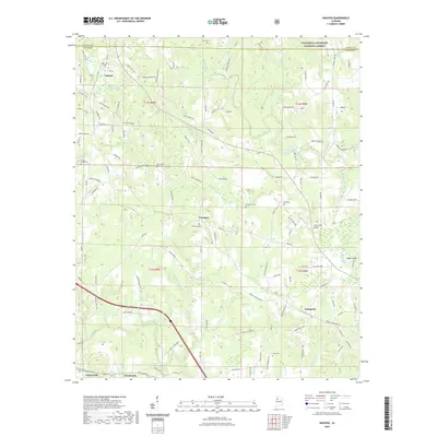
(6)- 2000 Map of Nauvoo, 2003 Print
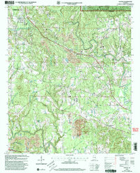 2000 Nauvoo2003 Print · USGSNear the turn of the millennium, this portion of Walker County shows the intersection of deep coal mining and protected national forest land. Researchers can trace rural community life through New Oak Grove Ch, Leonard Chapel, and early school sites like Rose Hill Sch.
 - 2011 Map of Nauvoo, 2011 Print
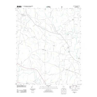 2011 Nauvoo2011 Print · USGSCovers Nauvoo, including Carbon Hill, Prospect, and other nearby areas
 - 2014 Map of Nauvoo, 2014 Print
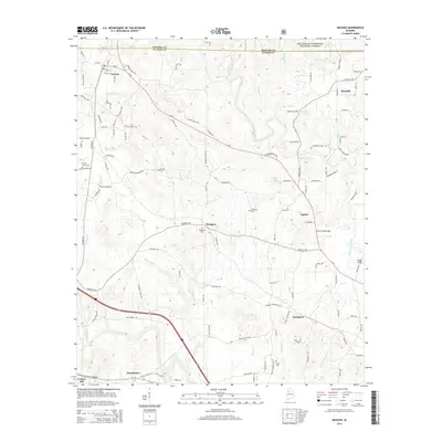 2014 Nauvoo2014 Print · USGSCovers Nauvoo, including Carbon Hill, Prospect, and other nearby areas
 - 2018 Map of Nauvoo, 2018 Print
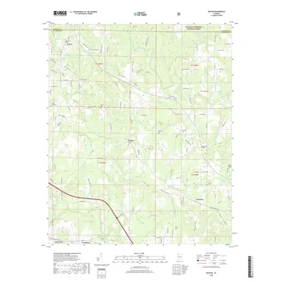 2018 Nauvoo2018 Print · USGSCovers Nauvoo, including Carbon Hill, Prospect, and other nearby areas
 - 2021 Map of Nauvoo, 2021 Print
 2021 Nauvoo2021 Print · USGSCovers Nauvoo, including Carbon Hill, Prospect, and other nearby areas
 - 2024 Map of Nauvoo, 2024 Print
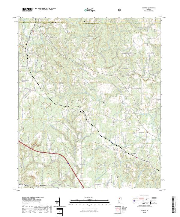 2024 Nauvoo2024 Print · USGSThe borderlands of Winston and Walker Counties come into focus in this recent survey of Nauvoo and the southern edge of the Bankhead National Forest. Researchers can trace rural family roots through numerous local landmarks like Saragossa, Pocahontas, and the Old Flatwoods Cem.
End of results
Showing maps 1-6 of 6
Top cities near Nauvoo
- Jasper historical maps
- Haleyville historical maps
- Carbon Hill historical maps
- Double Springs historical maps
- Lynn historical maps
- Glen Allen historical maps
See more
Frequently asked questions
- What are the different types of historical maps available for Nauvoo?
- What is the oldest map of Nauvoo?
- Where can I purchase historical maps of Nauvoo for my home or office?
- Where can I download high-res historical maps of Nauvoo?
- Are there historical topographic maps available for Nauvoo?
- Is there historical aerial imagery available for Nauvoo?
- Where are historical maps of Nauvoo sourced from?