Old Maps of Darlington, Alabama for Hiking & Exploration
Hike through history with 9 historic maps of Darlington. Explore old trails, ghost towns, and forgotten backroads — perfect for outdoor adventurers and local explorers.
- Rediscover forgotten places: Map out old mining camps, roads, and footpaths that no longer exist on modern maps.
- Layer with modern tools: Combine with LiDAR or satellite views to plan hikes through historical terrain.
- Made for exploration: Popular among hikers, overlanders, and local history lovers.
Use these maps to find adventure and explore the hidden past of Darlington.
Darlington, AL maps
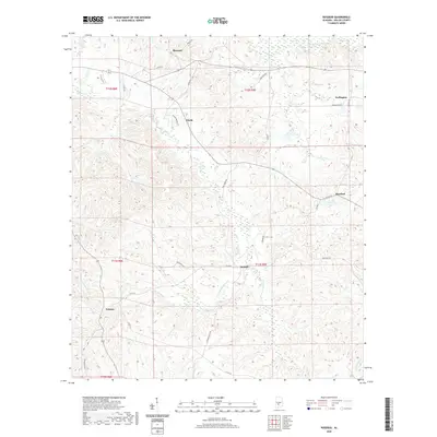
(9)- 1953 Map of Andalusia, 1965 Print
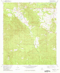
 1953 Andalusia1965 Print · USGSSouth Alabama in the mid-twentieth century remains a land of pine forests and river-fed settlements. You can trace the vital rail corridors of the Louisville & Nashville and locate regional centers such as Andalusia, Brewton, and Monroeville.3 unique versions available
 - 1957 Map of Andalusia
 1957 Andalusia1957 Print · USGSSouthern Alabama in the mid-1950s was a landscape defined by timbered stretches and the rhythmic flow of the Alabama River. Researchers can trace the legacy of the rail era through the Central of Georgia tracks and the storied river bluffs at Choctaw Bluff.
 - 1981 Map of Rosebud
 1981 Rosebud1981 Print · USGSWilcox County's rural heartland is captured here in the early 1980s, centered on the Louisville and Nashville rail line. Researchers can trace family sites near St Mary Ch, the lookout above Fatama, and the small community of Rosebud.
 - 1986 Map of Monroeville
 1986 Monroeville1986 Print · USGSMonroe and Clarke counties are captured here in the mid-eighties, centered on the river valleys of the Alabama River and Tombigbee River. Genealogists and local historians can trace legacy settlements like Burnt Corn, Whatley, and the river site of Claiborne.2 unique versions available
 - 2011 Map of Rosebud, 2011 Print
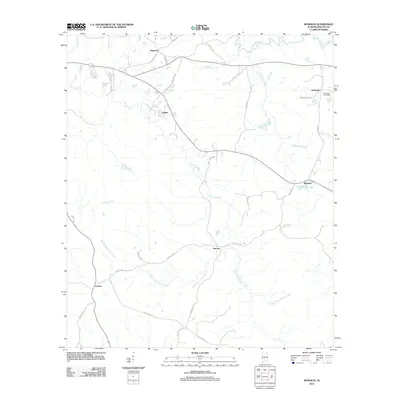 2011 Rosebud2011 Print · USGSCovers Darlington, including Fatama, Rosebud, and other nearby areas
 - 2014 Map of Rosebud, 2014 Print
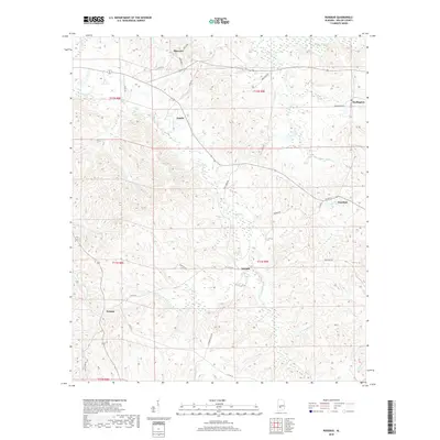
 2014 Rosebud2014 Print · USGSCovers Darlington, including Fatama, Rosebud, and other nearby areas
 - 2018 Map of Rosebud, 2018 Print
 2018 Rosebud2018 Print · USGSCovers Darlington, including Fatama, Rosebud, and other nearby areas
 - 2020 Map of Rosebud, 2020 Print
 2020 Rosebud2020 Print · USGSCovers Darlington, including Fatama, Rosebud, and other nearby areas
 - 2024 Map of Rosebud, 2024 Print
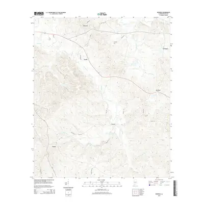
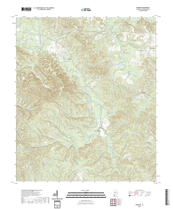 2024 Rosebud2024 Print · USGSWilcox County's rural landscape is captured here in the contemporary era, showing the enduring settlement patterns of the Alabama interior. Genealogists and historians can trace local family landmarks and small communities like Fatama, Neenah, and Rosebud along the banks of Pursley Creek.
End of results
Showing maps 1-9 of 9
Top cities near Darlington
- Camden historical maps
- Vredenburgh historical maps
- Boykin historical maps
- Pine Apple historical maps
- Oak Hill historical maps
Frequently asked questions
- What are the different types of historical maps available for Darlington?
- What is the oldest map of Darlington?
- Where can I purchase historical maps of Darlington for my home or office?
- Where can I download high-res historical maps of Darlington?
- Are there historical topographic maps available for Darlington?
- Is there historical aerial imagery available for Darlington?
- Where are historical maps of Darlington sourced from?