Old Maps of Furman, Alabama for Hiking & Exploration
Hike through history with 11 historic maps of Furman. Explore old trails, ghost towns, and forgotten backroads — perfect for outdoor adventurers and local explorers.
- Rediscover forgotten places: Map out old mining camps, roads, and footpaths that no longer exist on modern maps.
- Layer with modern tools: Combine with LiDAR or satellite views to plan hikes through historical terrain.
- Made for exploration: Popular among hikers, overlanders, and local history lovers.
Use these maps to find adventure and explore the hidden past of Furman.
Furman, AL maps
(11)- 1953 Map of Montgomery, 1964 Print
 1953 Montgomery1964 Print · USGSCentral Alabama's river-and-rail corridor is mapped here in the mid-fifties, showing the vital connections between the capital and the Black Belt. Genealogists and historians can trace rail depots and crossroads from Marion Junction to Wetumpka, alongside landmarks like Craig AFB.4 unique versions available
 - 1956 Map of Montgomery
 1956 Montgomery1956 Print · USGSCentral Alabama in the mid-1950s shows a landscape defined by its great river systems and a booming military aviation presence. Genealogists and historians can trace the rail corridors of the Southern Railway and locate tactical bases like Maxwell AFB and Craig AFB.
 - 1957 Map of Montgomery
 1957 Montgomery1957 Print · USGSCentral Alabama in the mid-fifties is defined by the winding Alabama River and a strategic network of military bases and rail lines. Trace family roots in Montgomery and Selma, or locate landmarks like Craig AFB and the State Capitol before the interstate era.
 - 1957 Map of Braggs, 1958 Print
 1957 Braggs1958 Print · USGSSouthern Alabama in the late fifties was a region of tight-knit rural communities and family farmsteads. Genealogists and historians can trace the exact locations of local landmarks like the Berlin Normal Sch, Mt Moriah Ch, and the Louisville and Nashville rail stop at Minter (Minters Sta).2 unique versions available
 - 1986 Map of Montgomery
 1986 Montgomery1986 Print · USGSCentral Alabama's river-and-rail corridor is captured in the mid-1980s, centered on the state capital and its surrounding rural counties. Researchers can trace ancestral landmarks like Oakwood Cemetery, military sites like Maxwell Air Force Base, and small towns such as Lowndesboro.2 unique versions available
 - 1987 Map of Minter
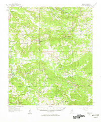
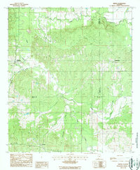 1987 Minter1987 Print · USGSWilcox and Dallas counties come together in the late twentieth century near the rural settlements of Furman and Farmersville. Genealogists and historians can trace local cemeteries and waterways like Cedar Creek and Wagontongue Creek.
 - 2011 Map of Minter, 2011 Print
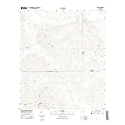
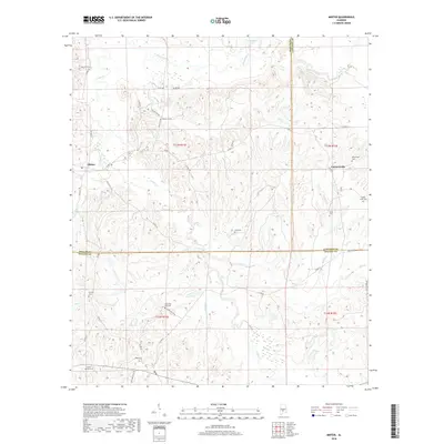
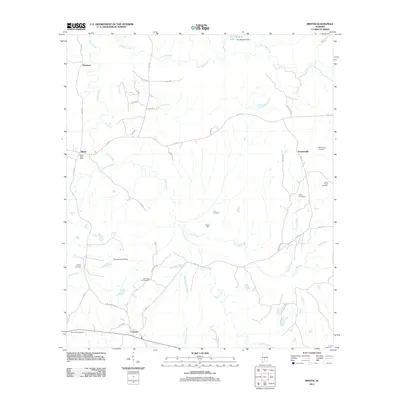 2011 Minter2011 Print · USGSCovers Furman, including Dawsons, Minter, and other nearby areas
 - 2014 Map of Minter, 2014 Print
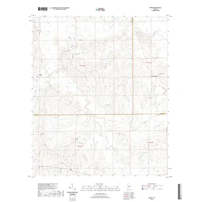
 2014 Minter2014 Print · USGSCovers Furman, including Dawsons, Minter, and other nearby areas
 - 2018 Map of Minter, 2018 Print
 2018 Minter2018 Print · USGSCovers Furman, including Dawsons, Minter, and other nearby areas
 - 2020 Map of Minter, 2020 Print
 2020 Minter2020 Print · USGSCovers Furman, including Dawsons, Minter, and other nearby areas
 - 2024 Map of Minter, 2024 Print
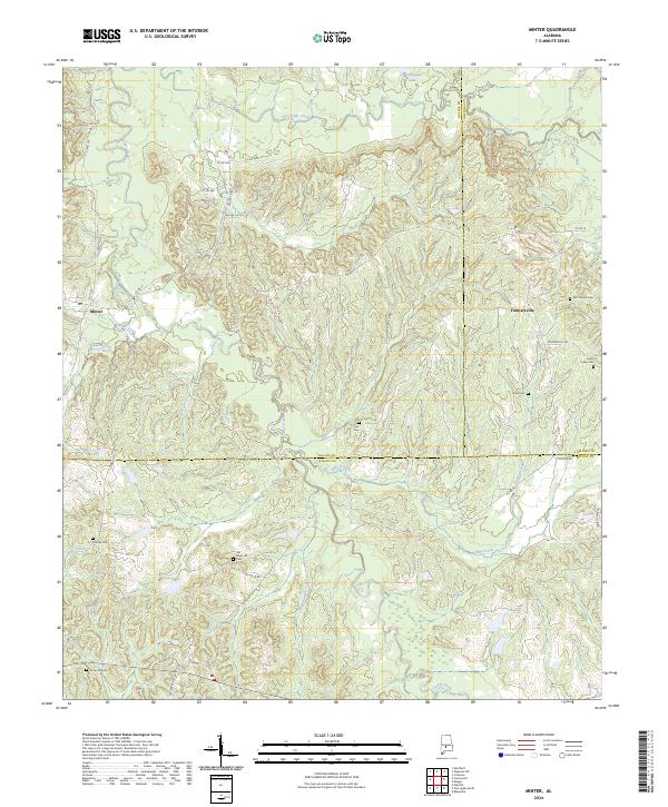 2024 Minter2024 Print · USGSThe rural crossroads of Dallas and Wilcox counties are captured here in their modern setting, centered on the small communities of Minter and Farmersville. Genealogists can trace family roots through numerous local burial sites, including Snow Hill Cem, Purefoy Cem, and McColough Cem.
End of results
Showing maps 1-11 of 11
Top cities near Furman
Frequently asked questions
- What are the different types of historical maps available for Furman?
- What is the oldest map of Furman?
- Where can I purchase historical maps of Furman for my home or office?
- Where can I download high-res historical maps of Furman?
- Are there historical topographic maps available for Furman?
- Is there historical aerial imagery available for Furman?
- Where are historical maps of Furman sourced from?