Old Maps of Arley, Alabama for Academic Research
Study the evolution of Arley with 12 high-resolution historic maps. Whether you're teaching, researching, or modeling changes in land use, these maps provide essential visual documentation of urban, environmental, and geographic change.
- Analyze long-term change: Track patterns in development, transportation, and natural features.
- Ideal for environmental or urban studies: Support academic projects with primary historical map data.
- Use in the classroom or lab: Educators and researchers rely on these maps to bring historical context to life.
These maps are a powerful tool for teaching, research, and visualizing how Arley has changed over the decades.
Arley, AL maps
(12)- 1956 Map of Gadsden, 1966 Print
 1956 Gadsden1966 Print · USGSNorth Alabama in the mid-1950s shows a region transformed by river engineering and federal industry. Genealogists and local historians can trace the development of the Tennessee Valley through the growth of Huntsville, the sprawling Redstone Arsenal, and the expansive Guntersville Lake.3 unique versions available
 - 1958 Map of Gadsden
 1958 Gadsden1958 Print · USGSNorth Alabama comes alive in the late 1950s as the Tennessee Valley Authority’s massive river projects and the rise of the space industry reshaped the landscape. Researchers can trace the mid-century footprints of Huntsville, Redstone Arsenal, and the riverside rail networks of the Southern railroad.
 - 1960 Map of Gadsden
 1960 Gadsden1960 Print · USGSNorthern Alabama in the mid-1950s is defined by the mighty Tennessee River and its massive reservoirs. Trace the development of Huntsville and Redstone Arsenal or explore the vast William B Bankhead National Forest.2 unique versions available
 - 1963 Map of Gadsden
 1963 Gadsden1963 Print · USGSNorthern Alabama underwent a dramatic mid-century transformation as the Tennessee Valley became a hub for defense and industry. Researchers can trace the development of the Redstone Arsenal, the route of the Natchez Trace Parkway, and long-standing rail lines like the Southern Railway.
 - 1969 Map of Arley, 1973 Print
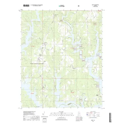
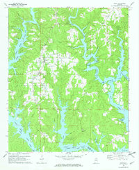 1969 Arley1973 Print · USGSArley and the northern reaches of the Smith Lake reservoir are shown here in the late sixties as the water reshaped the Winston County hills. Local historians can trace family roots through several landmarks like Robertson Chapel Cem, Arley Ch, and the Meek Lookout Tower.2 unique versions available
 - 1980 Map of Haleyville, 1983 Print
 1980 Haleyville1983 Print · USGSNorthwest Alabama at the start of the eighties shows a landscape of deep forests and new reservoirs as modern infrastructure settled into the hills. Researchers can trace the rail lines of the Southern and Illinois Central Gulf through towns like Haleyville, Moulton, and Natural Bridge.
 - 2000 Map of Arley, 2003 Print
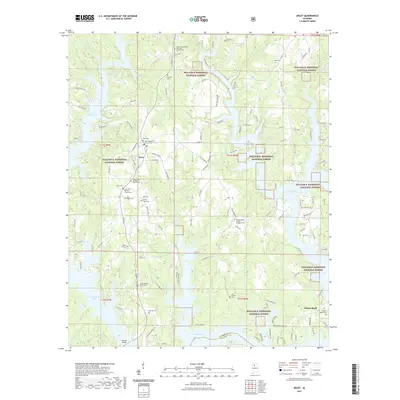
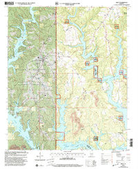 2000 Arley2003 Print · USGSArley sat at the edge of the Bankhead National Forest at the turn of the millennium, overlooking the flooded valleys of the Sipsey Fork. Genealogists and local historians can locate family sites at Mount Hope Cemetery or Old Bethel Church and trace the area's transition from timberland to recreation.
 - 2011 Map of Arley, 2011 Print
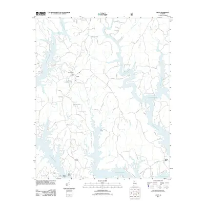 2011 Arley2011 Print · USGSCovers Arley, including Wilson Bend, Walker County, and other nearby areas
 - 2014 Map of Arley, 2014 Print
 2014 Arley2014 Print · USGSCovers Arley, including Wilson Bend, Walker County, and other nearby areas
 - 2018 Map of Arley, 2018 Print
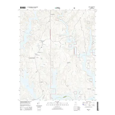
 2018 Arley2018 Print · USGSCovers Arley, including Wilson Bend, Walker County, and other nearby areas
 - 2021 Map of Arley, 2021 Print
 2021 Arley2021 Print · USGSCovers Arley, including Wilson Bend, Walker County, and other nearby areas
 - 2024 Map of Arley, 2024 Print
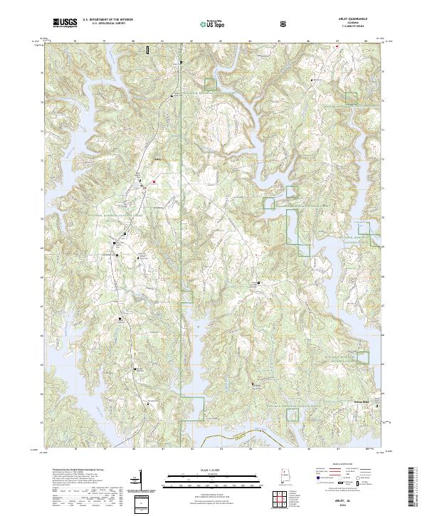 2024 Arley2024 Print · USGSThe community of Arley and the surrounding woodlands of the William B. Bankhead National Forest are shown here as they appear in the early 2020s. Genealogists and local historians can locate many family-named landmarks and rural burial sites, including Trussell Family Cem and Delma Baird Cem.
End of results
Showing maps 1-12 of 12
Top cities near Arley
- Jasper historical maps
- Double Springs historical maps
- West Point historical maps
- Addison historical maps
Frequently asked questions
- What are the different types of historical maps available for Arley?
- What is the oldest map of Arley?
- Where can I purchase historical maps of Arley for my home or office?
- Where can I download high-res historical maps of Arley?
- Are there historical topographic maps available for Arley?
- Is there historical aerial imagery available for Arley?
- Where are historical maps of Arley sourced from?