Old Maps of Woodstock, Alabama for Hiking & Exploration
Hike through history with 37 historic maps of Woodstock. Explore old trails, ghost towns, and forgotten backroads — perfect for outdoor adventurers and local explorers.
- Rediscover forgotten places: Map out old mining camps, roads, and footpaths that no longer exist on modern maps.
- Layer with modern tools: Combine with LiDAR or satellite views to plan hikes through historical terrain.
- Made for exploration: Popular among hikers, overlanders, and local history lovers.
Use these maps to find adventure and explore the hidden past of Woodstock.
Woodstock, AL maps
(37)- 1899 Map of Brookwood
 1899 Brookwood1899 Print · USGSCentral Alabama at the close of the nineteenth century is a landscape of growing mining towns and vital river crossings. Trace the early industrial rail lines like the Birmingham Mineral R. R. and locate family landmarks such as Weaver Mill, Pratt Ferry, and Providence Ch.4 unique versions available
 - 1927 Map of Adger
 1927 Adger1927 Print · USGSThe industrial heart of Alabama comes alive in the late twenties, showing the intersection of mining and rail. Genealogists can trace family roots at Concord Ch, Connellsville Mine, and the early settlement at Tannehill.
 - 1932 Map of Yolande, 1964 Print
 1932 Yolande1964 Print · USGSThe industrial corridor southwest of Birmingham comes alive in this survey of the early thirties, where coal and iron roots run deep. Trace the rail lines serving Gilmore Mines and Connellsville or locate family sites near McCalla and Yolande.
 - 1934 Map of Blocton
 1934 Blocton1934 Print · USGSCentral Alabama's coal and rail corridor comes to life in the 1930s, showing the intersection of the Cahaba River and intensive industrial development. Researchers can locate old mining sites like Hill Creek Mine and numerous rural landmarks including Rock Institute Sch and Ada Chapel.3 unique versions available
 - 1935 Map of Yolande
 1935 Yolande1935 Print · USGSThe Jefferson and Tuscaloosa county line was a hub of coal production and rail activity in the 1930s. Researchers can trace the layout of mining communities like Yolande and Johns or locate family roots at Dogwood Ch and Kniss Store.3 unique versions available
 - 1940 Map of Blocton
 1940 Blocton1940 Print · USGSCentral Alabama's mining and river country is captured here just before the Second World War, centered on the coal hubs of Bibb County. Researchers can trace family roots through numerous rural landmarks like Mt Olivet Ch, Gray Hill Sch, and the rail junction at Blocton Junc.2 unique versions available
 - 1953 Map of Birmingham, 1964 Print
 1953 Birmingham1964 Print · USGSCentral Alabama at mid-century shows a landscape defined by industrial expansion and the iron-rich ridges surrounding Birmingham. Researchers can trace the extensive rail networks of the L & N RR or locate historic federal sites like the Anniston Ordnance Depot.4 unique versions available
 - 1956 Map of Birmingham
 1956 Birmingham1956 Print · USGSCentral Alabama in the mid-fifties exhibits a landscape of growing cities and deep-rooted industrial corridors. Genealogists and historians can trace the development of suburban Mountain Brook or locate regional hubs like Sylacauga and Jasper.
 - 1957 Map of Birmingham
 1957 Birmingham1957 Print · USGSNorth-Central Alabama in the mid-fifties is an industrial powerhouse centered on the steel valleys and sprawling iron ridges. Genealogists and historians can trace the rail-linked growth of Birmingham and Tuscaloosa, or locate rural landmarks like Talladega College and the Anniston Ordnance Depot.
 - 1975 Map of Yolande SE, 1977 Print
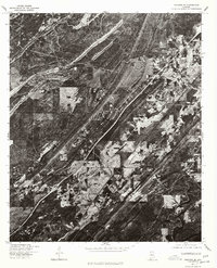 1975 Yolande SE1977 Print · USGSJefferson County in the mid-1970s is shown in this detailed orthophoto as industrial patterns and rural settlements meet. Genealogists and local historians can trace the clear physical footprints of Mc Calla, Baylor, and Kimbrell.
 - 1975 Map of Yolande SW, 1977 Print
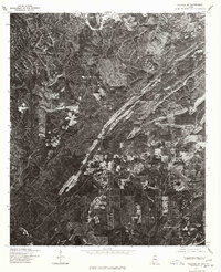 1975 Yolande SW1977 Print · USGSTuscaloosa County settlement patterns are captured through high-resolution aerial imagery in the mid-seventies. Researchers can trace the exact footprint of industrial and residential growth near Yolande, Abernant, and Aubrey.
 - 1975 Map of Blocton NE, 1977 Print
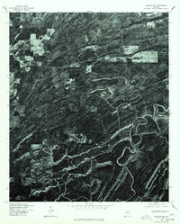 1975 Blocton NE1977 Print · USGSIn the mid-1970s, the terrain of Bibb County was captured in striking detail via this aerial orthophotoquad. You can examine the settlement patterns around Green Pond and trace the timber tracks and ridgelines that define this rural landscape.
 - 1980 Map of Mc Calla
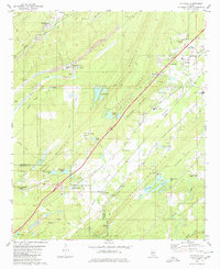 1980 Mc Calla1980 Print · USGSThe industrial corridor southwest of Birmingham appears in the 1980s as a complex landscape of coal mining and ridge-and-valley settlements. Genealogists and local historians can trace family roots through McCalla, North Johns, and several landmarks like Ligon Cem and the McAdory High Sch.2 unique versions available
 - 1980 Map of Abernant
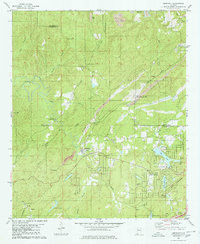 1980 Abernant1980 Print · USGSThe coal-mining and lakeside communities of Tuscaloosa County are shown here in the mid-1970s. Trace the industrial landscape of the Shannon Mine and Yolande alongside the developing Million Dollar Lake Estates.
 - 1980 Map of Halfmile Shoals
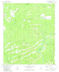 1980 Halfmile Shoals1980 Print · USGSThe Cahaba River corridor in the early eighties reveals a landscape shaped by coal mining and rural heritage at the junction of four counties. Researchers can trace historic settlements like Belle Ellen and Marvel, or locate landmarks such as McKensey Cem and Tannehill State Park.2 unique versions available
 - 1980 Map of Woodstock
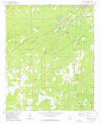 1980 Woodstock1980 Print · USGSThe Bibb and Tuscaloosa county line in the late seventies is a landscape defined by heavy rail transit and deep-rooted rural communities. Genealogists and historians can trace family sites like Shuttlesworth Cem, Union Cumberland Ch, and the old Old Grade roadbed.2 unique versions available
 - 1984 Map of Tuscaloosa, 1985 Print
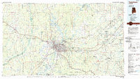 1984 Tuscaloosa1985 Print · USGSWest-central Alabama centers on the mid-1980s expansion of the university and the river economy. Genealogists and historians can trace small-town connections through Burchfield Store, North Johns, and the rail lines of the Southern railroad.2 unique versions available
 - 2011 Map of Woodstock, 2011 Print
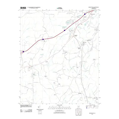 2011 Woodstock2011 Print · USGSTuscaloosa and Bibb counties are shown here as they appeared in the early twenty-first century, centered on the growing corridor between Vance and Woodstock. Genealogists can locate numerous local burial sites like Union Cemetery and Hopewell Cemetery or trace the Old Stagecoach Road.
 - 2011 Map of Abernant, 2011 Print
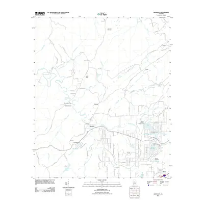 2011 Abernant2011 Print · USGSTuscaloosa County at the start of the twenty-first century reveals a landscape of old mining-era settlements evolving into lakeside communities. Researchers can trace family roots at Liberty Cemetery or explore the geography of Pattersontown and Million Dollar Lake.
 - 2011 Map of Halfmile Shoals, 2011 Print
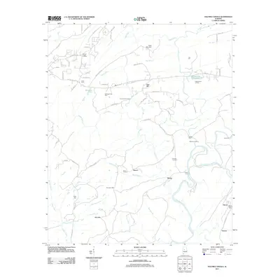 2011 Halfmile Shoals2011 Print · USGSBibb and Shelby County borders meet along the Cahaba River in this early 21st-century survey. Genealogists can locate several family burial sites including Higganbotham Cemetery and trace the old river crossings at Mitchell Ford.
 - 2011 Map of McCalla, 2011 Print
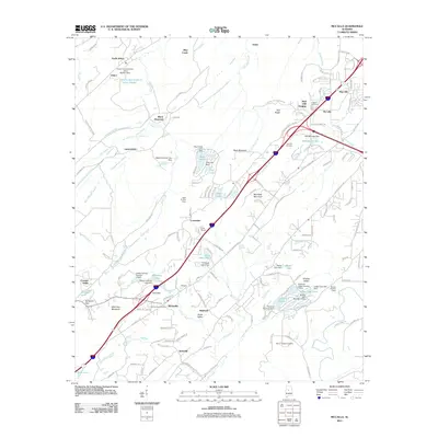 2011 McCalla2011 Print · USGSJefferson County and the ridges of the Alabama Appalachians are seen here in the early twenty-first century. Genealogists and local historians can trace family sites at Bucksville Cemetery, locate the community of McCalla, or explore the grounds near Tannehill.
 - 2014 Map of McCalla, 2014 Print
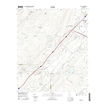 2014 McCalla2014 Print · USGSJefferson and Tuscaloosa counties meet in this 2010s survey, showing the evolving landscape between Bessemer and Woodstock. Researchers can trace local history through sites like Bucksville Cemetery, the industrial Black Diamond settlement, and McAshan Mountain.
 - 2014 Map of Halfmile Shoals, 2014 Print
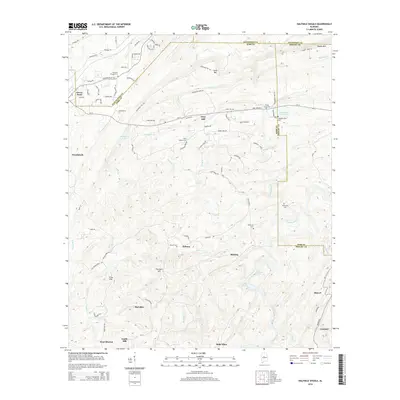 2014 Halfmile Shoals2014 Print · USGSThe Cahaba River valley at the meeting point of four Alabama counties reveals a landscape of high ridges and rural settlements. Family historians can locate numerous burial sites like Hickman Chapel Cem or trace the river's path through Halfmile Shoals and Lilly Shoals.
 - 2014 Map of Abernant, 2014 Print
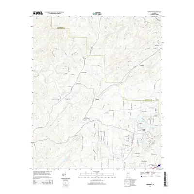 2014 Abernant2014 Print · USGSThe Jefferson and Tuscaloosa County line area in the early 21st century remains a landscape of high ridges and residential lake communities. Genealogists can locate family sites at Davis Creek Cem and Hephzibah Cem or trace old routes through Yolande and Pattersontown.
 - 2014 Map of Woodstock, 2014 Print
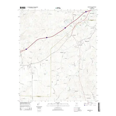 2014 Woodstock2014 Print · USGSThe borderlands of Tuscaloosa and Bibb counties were thriving hubs of transit and community in the early twenty-first century. Researchers can locate numerous family and community burial sites like Union Cem and Hickory Hill Cem near settlements such as Woodstock and West Blocton.
Showing maps 1-25 of 37
Top cities near Woodstock
- Birmingham historical maps
- Tuscaloosa historical maps
- Hoover historical maps
- Bessemer historical maps
- Helena historical maps
- Hueytown historical maps
See more
Top neighborhoods of Woodstock
- Caffee Junction historical maps
- Rickey historical maps
- North Bibb historical maps
- Woodstock Junction historical maps
Frequently asked questions
- What are the different types of historical maps available for Woodstock?
- What is the oldest map of Woodstock?
- Where can I purchase historical maps of Woodstock for my home or office?
- Where can I download high-res historical maps of Woodstock?
- Are there historical topographic maps available for Woodstock?
- Is there historical aerial imagery available for Woodstock?
- Where are historical maps of Woodstock sourced from?