Old Maps of Garner, Alaska for Metal Detecting
Plan your next treasure hunt with 6 historic maps of Garner. Find old homesites, ghost towns, trails, and gathering spots that may be lost to time — perfect for identifying promising metal detecting locations.
- Locate forgotten sites: Uncover places like long-lost settlements, abandoned rail lines, or gathering spots.
- Plan better hunts: Use map overlays combined with LiDAR or satellite views to narrow in on historically rich areas.
- Made for detectorists: Thousands of hobbyists use these maps to discover relics, coins, and hidden history.
Use these historic maps to boost your research and find new opportunities beneath the surface of Garner.
Garner, AK maps
(6)- 1950 Map of Healy D-4, 1963 Print
 1950 Healy D-41963 Print · USGSAlaska's interior mining and rail corridor comes to life in the mid-century as the coal industry expanded along the river forks. Researchers can trace the industrial footprint of the Usibelli Mine, the settlement at Suntrana, and the path of The Alaska Railroad.4 unique versions available
 - 1951 Map of Healy
 1951 Healy1951 Print · USGSThe Alaska interior during the early fifties reveals a landscape shaped by the Alaska Railroad and the mining of the Alaska Range. Trace early settlements and infrastructure like Suntrana, the Dunkle Coal Mine, and the McKinley Park Airstrip at the edge of the wilderness.5 unique versions available
 - 1952 Map of Healy D-4
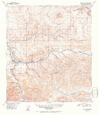 1952 Healy D-41952 Print · USGSInterior Alaska's coal country comes into focus in the early fifties as the Alaska Railroad connects the mines to the wider world. Trace the industrial footprint of the Usibelli Coal Mine and local settlements like Healy, Suntrana, and Garner.2 unique versions available
 - 1956 Map of Healy, 1966 Print
 1956 Healy1966 Print · USGSThe interior of Alaska is shown during a period of industrial and recreational expansion in the mid-fifties. Genealogists and historians can trace the Alaska Railroad corridor through Healy and mining sites like Usibelli Mine.4 unique versions available
 - 2016 Map of Healy D-4 SW, 2016 Print
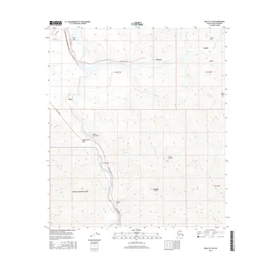 2016 Healy D-4 SW2016 Print · USGSCovers Garner, including Suntrana, Usibelli, and other nearby areas
 - 2019 Map of Healy D-4 SW, 2019 Print
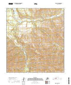 2019 Healy D-4 SW2019 Print · USGSDenali and the Nenana River valley are shown here in the late 2010s as a hub of transit and mountain industry. Researchers can trace the layout of Healy, Suntrana, and the Healy River Airport alongside the towering peaks of Sugar Loaf Mtn.
End of results
Showing maps 1-6 of 6
Top cities near Garner
Frequently asked questions
- What are the different types of historical maps available for Garner?
- What is the oldest map of Garner?
- Where can I purchase historical maps of Garner for my home or office?
- Where can I download high-res historical maps of Garner?
- Are there historical topographic maps available for Garner?
- Is there historical aerial imagery available for Garner?
- Where are historical maps of Garner sourced from?