
1950 Map of Healy D-4
USGS Topo · Published 1963About this map
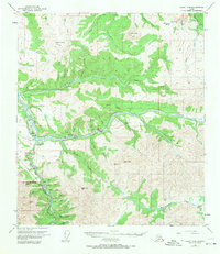
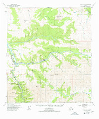
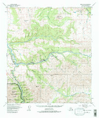
The interior Alaskan coal-mining landscape of the mid-20th century is centered on the confluence of Healy Creek and the Neana River. This survey documents the critical infrastructure of the era, showing the path of The Alaska Railroad as it serves industrial outposts like Suntrana and Healy Fork. The presence of several extractive sites, including the Usibelli Mine, Cripple Creek Mine, and various strip mines, highlights the region's reliance on mineral resources during this period of development.
Find a feature on this map
46 named features on this map. Tap any name to fly to it.
Don’t see what you’re looking for? This feature index may not catch every label — zoom into the map to look around manually.
Map Details
Editions of this 1950 Healy D-4 Map
4 editions found
Other maps of this area

1949 · Healy C-3
USGS Topo · 1:63,360

1950 · Fairbanks
USGS Topo · 1:250,000

1950 · Fairbanks A-5
USGS Topo · 1:63,360

1950 · Healy C-4
USGS Topo · 1:63,360

1950 · Fairbanks A-4
USGS Topo · 1:63,360

1950 · Fairbanks A-3
USGS Topo · 1:63,360

1950 · Healy D-3
USGS Topo · 1:63,360

1951 · Healy
USGS Topo · 1:250,000

1951 · Fairbanks
USGS Topo · 1:250,000

1951 · Fairbanks A-5
USGS Topo · 1:63,360