
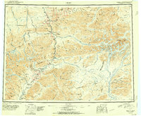
1951 Map of Healy
USGS Topo · Published 1951About this map
The Alaska Railroad serves as the primary artery through this portion of the Alaska Range, following the Nenana River corridor from Lignite down to Honolulu. This mid-century survey illustrates the industrial footprint of interior Alaska, anchored by resource extraction at the Dunkle Coal Mine and Golden Zone Mine. Regional aviation infrastructure is prominent, with established landing fields at Suntrana Airstrip, McKinley Park Airstrip, and Cantwell Airstrip supporting transit where roads remain scarce.
Find a feature on this map
60 named features on this map. Tap any name to fly to it.
Don’t see what you’re looking for? This feature index may not catch every label — zoom into the map to look around manually.
Map Details
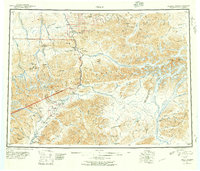
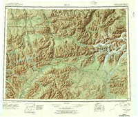
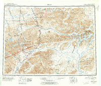
Editions of this 1951 Healy Map
5 editions found
Other maps of this area

1948 · Kantishna River
USGS Topo · 1:250,000

1949 · Talkeetna Mountains D-6
USGS Topo · 1:63,360

1949 · Healy B-4
USGS Topo · 1:63,360

1949 · Big Delta A-6
USGS Topo · 1:63,360

1949 · Healy C-3
USGS Topo · 1:63,360

1949 · Healy B-2
USGS Topo · 1:63,360

1949 · Fairbanks A-2
USGS Topo · 1:63,360

1949 · Fairbanks A-1
USGS Topo · 1:63,360

1949 · Healy A-1
USGS Topo · 1:63,360

1949 · Healy D-1
USGS Topo · 1:63,360