
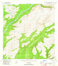
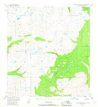
1949 Map of Talkeetna Mountains D-6
USGS Topo · Published 1956About this map
The Alaska Railroad serves as the industrial backbone of this subarctic corridor during the late 1940s, tracing a path through the steep drainages between the Talkeetna and Alaska Ranges. Small trackside outposts like Hurricane, Chulitna, and Canyon mark the line as it navigates the rugged river valleys. The landscape is defined by the convergence of major glacial waterways, including the braided Chulitna River and the Susitna River, which are fed by the massive Eldridge Glacier in the northwest. High-altitude crossings like Chulitna Pass and landmarks such as Chulitna Butte dictate the movement of both the rail and primitive ground transport, evidenced by the presence of a Sled Road near the northern boundary. This survey provides a look at the early infrastructure supporting transportation and remote settlement in the Alaskan interior before modern highway expansion reached this section of the rail belt.
Find a feature on this map
23 named features on this map. Tap any name to fly to it.
Don’t see what you’re looking for? This feature index may not catch every label — zoom into the map to look around manually.
Map Details
Editions of this 1949 Talkeetna Mountains D-6 Map
This is the sole edition of this map. No revisions or reprints were ever made.
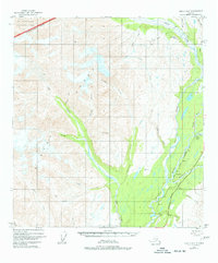
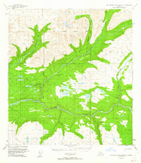
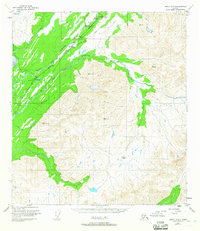
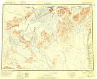
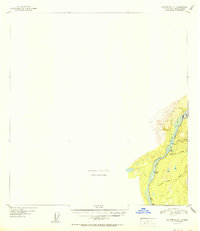
Other maps of this area
1949 · Talkeetna Mountains C-6
USGS Topo · 1:63,360
1949 · Healy A-6
USGS Topo · 1:63,360

1950 · Talkeetna Mountains
USGS Topo · 1:250,000

1950 · Talkeetna
USGS Topo · 1:250,000
1950 · Talkeetna Mountains D-5
USGS Topo · 1:63,360
1950 · Healy A-5
USGS Topo · 1:63,360
1950 · Talkeetna Mountains C-5
USGS Topo · 1:63,360
1951 · Talkeetna
USGS Topo · 1:250,000

1951 · Healy
USGS Topo · 1:250,000
1951 · Talkeetna C-1
USGS Topo · 1:63,360