
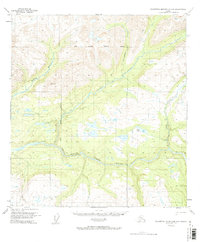
1950 Map of Talkeetna Mountains D-5
USGS Topo · Published 1962About this map
The Susitna River carves a deep path through this 1950s terrain, joined by major tributaries including Indian River, Portage Creek, and Thoroughfare Creek. This interior landscape reflects a pre-development era where movement was defined by natural corridors and seasonal paths. A notable Winter Trail cuts across the western portion of the sheet, providing a vital overland route through the drainage basins.
Find a feature on this map
11 named features on this map. Tap any name to fly to it.
Don’t see what you’re looking for? This feature index may not catch every label — zoom into the map to look around manually.
Map Details
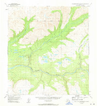
Editions of this 1950 Talkeetna Mountains D-5 Map
3 editions found
Other maps of this area

1949 · Talkeetna Mountains D-6
USGS Topo · 1:63,360

1949 · Talkeetna Mountains C-6
USGS Topo · 1:63,360

1949 · Healy A-6
USGS Topo · 1:63,360

1950 · Talkeetna Mountains
USGS Topo · 1:250,000

1950 · Healy A-4
USGS Topo · 1:63,360

1950 · Healy A-5
USGS Topo · 1:63,360

1950 · Talkeetna Mountains C-5
USGS Topo · 1:63,360

1951 · Healy
USGS Topo · 1:250,000

1951 · Talkeetna Mountains D-5
USGS Topo · 1:63,360

1951 · Talkeetna Mountains C-4
USGS Topo · 1:63,360