
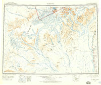
1950 Map of Talkeetna
USGS Topo · Published 1954About this map
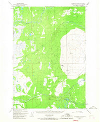
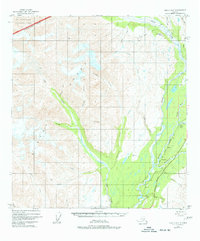
Talkeetna and the surrounding wilderness of the Alaska Range are captured here during a period of transition, following mid-century aerial surveys and tri-metrogon photography. The landscape is defined by the massive drainage systems of the Yentna River and Kahiltna Glacier, where early aviation and mining interests are evidenced by an Aerial Tram near Chelatna Lake and remote outposts like Petersville.
Find a feature on this map
116 named features on this map. Tap any name to fly to it.
Don’t see what you’re looking for? This feature index may not catch every label — zoom into the map to look around manually.
Map Details
Editions of this 1950 Talkeetna Map
2 editions found
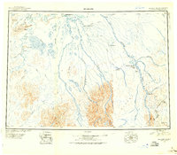
Other maps of this area

1949 · Tyonek
USGS Topo · 1:250,000
1949 · McGrath
USGS Topo · 1:250,000

1949 · Talkeetna Mountains D-6
USGS Topo · 1:63,360
1949 · Talkeetna Mountains B-6
USGS Topo · 1:63,360
1949 · Talkeetna Mountains C-6
USGS Topo · 1:63,360
1949 · Anchorage D-8
USGS Topo · 1:63,360
1949 · Healy A-6
USGS Topo · 1:63,360
1950 · Medfra
USGS Topo · 1:250,000

1950 · McGrath
USGS Topo · 1:250,000

1950 · Talkeetna Mountains
USGS Topo · 1:250,000