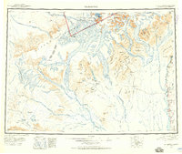
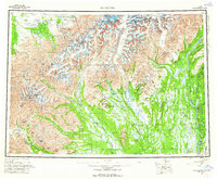
1958 Map of Talkeetna
USGS Topo · Published 1992About this map
The settlement of Talkeetna sits at the confluence of glacial rivers, serving as a gateway to the high peaks of the Alaska Range during the mid-20th century. To the west, the landscape is defined by massive ice fields including Kahiltna Glacier, Yentna Glacier, and Ruth Glacier, which carve through the Denali National Park and Preserve. Human activity is concentrated along the river valleys and early transport corridors, where the Parks Highway and the Winter Trail provide access to remote outposts. Small communities such as Petersville, Collinsville, and Fairview are positioned near mining and trapping grounds. These settlements, alongside Montana and Sunshine, represent the established footprint of the Matanuska-Susitna Borough as it balanced wilderness preservation with territorial development and access to the interior.
Find a feature on this map
96 named features on this map. Tap any name to fly to it.
Don’t see what you’re looking for? This feature index may not catch every label — zoom into the map to look around manually.
Map Details
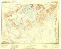
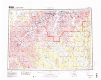
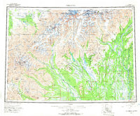
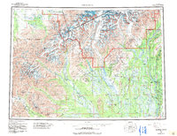
Editions of this 1958 Talkeetna Map
5 editions found
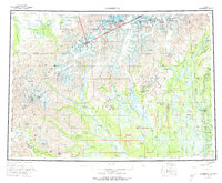
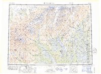
Historical Maps of Talkeetna Through Time
4 maps found