
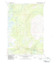
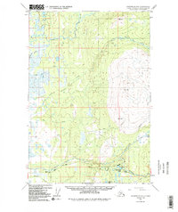
1949 Map of Anchorage D-8
USGS Topo · Published 1967About this map
The Kashwitna River and its North Fork define the northern reaches of this Alaskan landscape, captured during a 1949 photogrammetric survey. This territory is characterized by a dense network of watercourses, where the Willow Creek Road and an old Sled Road provide the primary terrestrial access through the lowlands. The presence of a solitary Cabin in the northwest corner suggests the sparse, seasonal settlement patterns common to the Talkeetna Mountains foothills before later development.
Find a feature on this map
19 named features on this map. Tap any name to fly to it.
Don’t see what you’re looking for? This feature index may not catch every label — zoom into the map to look around manually.
Map Details
Editions of this 1949 Anchorage D-8 Map
3 editions found
Other maps of this area

1949 · Tyonek
USGS Topo · 1:250,000

1949 · Anchorage D-7
USGS Topo · 1:63,360

1950 · Talkeetna Mountains
USGS Topo · 1:250,000

1950 · Talkeetna
USGS Topo · 1:250,000

1950 · Anchorage C-8
USGS Topo · 1:63,360

1950 · Anchorage C-7
USGS Topo · 1:63,360

1950 · Talkeetna Mountains A-6
USGS Topo · 1:63,360

1951 · Talkeetna
USGS Topo · 1:250,000

1951 · Anchorage
USGS Topo · 1:250,000

1951 · Tyonek
USGS Topo · 1:250,000