
1950 Map of Talkeetna Mountains A-6
USGS Topo · Published 1963About this map
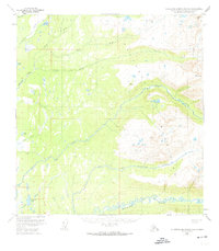
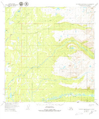
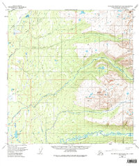
The Kashwitna River and its intricate tributaries dominate this mid-century landscape, revealing a transition from low-lying wetlands to the high-elevation peaks of the Talkeetna Mountains. Mapped from 1949 aerial photographs, the sheet documents a vast network of water bodies, including Caswell Lake and Baldy Lake, set within a complex drainage system where the North Fork Kashwitna River joins the main flow.
Find a feature on this map
20 named features on this map. Tap any name to fly to it.
Don’t see what you’re looking for? This feature index may not catch every label — zoom into the map to look around manually.
Map Details
Editions of this 1950 Talkeetna Mountains A-6 Map
4 editions found
Other maps of this area

1949 · Tyonek
USGS Topo · 1:250,000

1949 · Anchorage D-7
USGS Topo · 1:63,360

1949 · Talkeetna Mountains B-6
USGS Topo · 1:63,360

1949 · Anchorage D-8
USGS Topo · 1:63,360

1950 · Talkeetna Mountains
USGS Topo · 1:250,000

1950 · Talkeetna
USGS Topo · 1:250,000

1950 · Talkeetna Mountains B-5
USGS Topo · 1:63,360

1950 · Talkeetna Mountains A-5
USGS Topo · 1:63,360

1951 · Talkeetna
USGS Topo · 1:250,000

1951 · Talkeetna B-1
USGS Topo · 1:63,360