
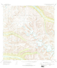
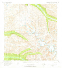
1950 Map of Talkeetna Mountains A-5
USGS Topo · Published 1966About this map
Glacial drainages and high alpine peaks of the Talkeetna Mountains define this 1950 survey, showcasing a landscape shaped by the Kashwitna River and its major tributaries. The map records the intricate paths of the North Fork Kashwitna River and the Sheep River as they emerge from the high country. Surveyors established critical triangulation points at VABM 5666 Honey and VABM 4792 Brownie to help plot this challenging terrain.
Find a feature on this map
9 named features on this map. Tap any name to fly to it.
Don’t see what you’re looking for? This feature index may not catch every label — zoom into the map to look around manually.
Map Details
Editions of this 1950 Talkeetna Mountains A-5 Map
3 editions found
Other maps of this area

1949 · Anchorage D-7
USGS Topo · 1:63,360

1949 · Talkeetna Mountains B-6
USGS Topo · 1:63,360

1949 · Talkeetna Mountains A-4
USGS Topo · 1:63,360

1950 · Talkeetna Mountains
USGS Topo · 1:250,000

1950 · Talkeetna Mountains B-5
USGS Topo · 1:63,360

1950 · Talkeetna Mountains B-4
USGS Topo · 1:63,360

1950 · Anchorage D-6
USGS Topo · 1:63,360

1950 · Talkeetna Mountains A-6
USGS Topo · 1:63,360

1951 · Anchorage
USGS Topo · 1:250,000

1951 · Anchorage D-7
USGS Topo · 1:63,360