
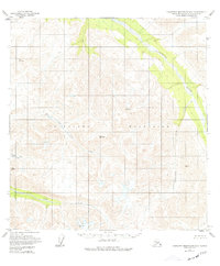
1950 Map of Talkeetna Mountains B-4
USGS Topo · Published 1959About this map
The Talkeetna Mountains define this high-altitude landscape as it was mapped by the Department of the Interior and the Geological Survey during the mid-twentieth century. This terrain is marked by a complex network of glacial valleys and alpine drainage systems, most notably the Talkeetna River and its major tributaries like Yellowjacket Creek and Iron Creek. The map reflects a period of intensifying aerial survey work, utilizing photogrammetric methods from 1951 and 1958 to complete earlier gaps in mapping. Surveyors relied heavily on triangulation stations such as VABM 6555 Xylic and VABM 6460 Sedan to establish elevation data across the remote interior. The dominance of hydrology, including the East Fork and Middle Fork Iron Creek, highlights the primary natural corridors through this roadless wilderness in the years following World War II.
Find a feature on this map
12 named features on this map. Tap any name to fly to it.
Don’t see what you’re looking for? This feature index may not catch every label — zoom into the map to look around manually.
Map Details
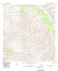
Editions of this 1950 Talkeetna Mountains B-4 Map
3 editions found
Other maps of this area

1949 · Talkeetna Mountains A-4
USGS Topo · 1:63,360

1950 · Talkeetna Mountains
USGS Topo · 1:250,000

1950 · Talkeetna Mountains B-5
USGS Topo · 1:63,360

1950 · Talkeetna Mountains A-5
USGS Topo · 1:63,360

1950 · Talkeetna Mountains C-5
USGS Topo · 1:63,360

1951 · Talkeetna Mountains B-3
USGS Topo · 1:63,360

1951 · Talkeetna Mountains A-3
USGS Topo · 1:63,360

1951 · Talkeetna Mountains C-4
USGS Topo · 1:63,360

1951 · Talkeetna Mountains C-3
USGS Topo · 1:63,360
1952 · Talkeetna Mountains B-4
USGS Topo · 1:63,360