
1951 Map of Talkeetna Mountains A-3
USGS Topo · Published 1964About this map
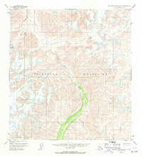
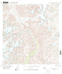
The Chickaloon Glacier and Talkeetna Glacier dominate this 1950s study of the high Talkeetna Mountains. Based on 1949 aerial photography and 1951 field annotations, the map reveals a wilderness landscape defined by extensive ice fields and the headwaters of glacial-fed drainages. The Chickaloon River flows southward through the center of the sheet, carving a deep valley that contrasts with the high, unnamed peaks and ridges surrounding it.
Find a feature on this map
8 named features on this map. Tap any name to fly to it.
Don’t see what you’re looking for? This feature index may not catch every label — zoom into the map to look around manually.
Map Details
Editions of this 1951 Talkeetna Mountains A-3 Map
3 editions found
Other maps of this area

1948 · Anchorage D-3
USGS Topo · 1:63,360

1948 · Anchorage D-4
USGS Topo · 1:63,360

1949 · Anchorage D-5
USGS Topo · 1:63,360

1949 · Talkeetna Mountains A-4
USGS Topo · 1:63,360

1950 · Talkeetna Mountains
USGS Topo · 1:250,000

1950 · Talkeetna Mountains B-4
USGS Topo · 1:63,360

1951 · Anchorage
USGS Topo · 1:250,000

1951 · Talkeetna Mountains A-2
USGS Topo · 1:63,360

1951 · Talkeetna Mountains B-3
USGS Topo · 1:63,360

1951 · Talkeetna Mountains B-2
USGS Topo · 1:63,360