
1949 Map of Anchorage D-5
USGS Topo · Published 1959About this map
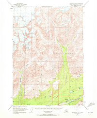
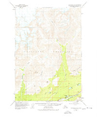
The Talkeetna Mountains dominate this 1949 survey, where the valley floor of the Matanuska River meets the steep ascent of high peaks like Castle Mountain and Kings Mtn. Along the southern corridor, the Glenn Highway traces the riverbank, providing the primary artery for transportation through this territory. Small-scale development is evident near Thirtymile Lake, where isolated Cabins are noted, suggesting early recreational or subsistence use of the land.
Find a feature on this map
36 named features on this map. Tap any name to fly to it.
Don’t see what you’re looking for? This feature index may not catch every label — zoom into the map to look around manually.
Map Details
Editions of this 1949 Anchorage D-5 Map
3 editions found
Other maps of this area

1948 · Anchorage D-4
USGS Topo · 1:63,360

1949 · Talkeetna Mountains A-4
USGS Topo · 1:63,360

1950 · Talkeetna Mountains
USGS Topo · 1:250,000

1950 · Anchorage D-6
USGS Topo · 1:63,360

1951 · Anchorage
USGS Topo · 1:250,000

1951 · Anchorage C-6
USGS Topo · 1:63,360

1951 · Anchorage C-5
USGS Topo · 1:63,360

1951 · Talkeetna Mountains A-3
USGS Topo · 1:63,360

1952 · Anchorage D-6
USGS Topo · 1:63,360

1952 · Anchorage D-5
USGS Topo · 1:63,360