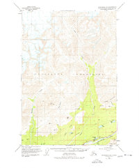
1949 Map of Anchorage D-5
USGS Topo · Published 1977About this map
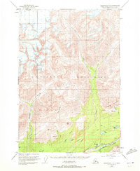
The Matanuska River valley and its surrounding alpine terrain are captured here just after the war, showing the early infrastructure of this Alaskan interior corridor. The Glenn Highway follows the river's path, connecting the remote landscape through Castle Park. High-elevation landmarks like Lava Mountain and Castle Mountain dominate the topography, while the lower valleys are defined by the Kings River and its numerous tributaries. Evidence of early resource exploration is scattered across the quadrant, including a Mine near California Creek and a Drill Hole near Drill Lake. These features, along with several scattered lakes like Fish Lake and Thirtymile Lake, reflect the region's character as an active frontier for mining and transportation in the late 1940s.
Find a feature on this map
32 named features on this map. Tap any name to fly to it.
Don’t see what you’re looking for? This feature index may not catch every label — zoom into the map to look around manually.
Map Details
Editions of this 1949 Anchorage D-5 Map
3 editions found
Other maps of this area

1948 · Anchorage D-4
USGS Topo · 1:63,360

1949 · Anchorage D-5
USGS Topo · 1:63,360

1949 · Talkeetna Mountains A-4
USGS Topo · 1:63,360

1950 · Talkeetna Mountains
USGS Topo · 1:250,000

1950 · Anchorage D-6
USGS Topo · 1:63,360

1951 · Anchorage
USGS Topo · 1:250,000

1951 · Anchorage C-6
USGS Topo · 1:63,360

1951 · Anchorage C-5
USGS Topo · 1:63,360

1951 · Talkeetna Mountains A-3
USGS Topo · 1:63,360

1952 · Anchorage D-6
USGS Topo · 1:63,360