
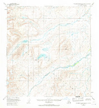
1951 Map of Talkeetna Mountains B-2
USGS Topo · Published 1964About this map
Talkeetna Mountains hydrology and high-altitude terrain define this 1951 survey, documenting a wilderness landscape before significant human development. The map is anchored by the Black River and Oshetna River, which carve through the mountains alongside numerous tributaries like George Creek and Gold Creek. High-elevation water bodies including Black Lake and the visually distinct Crater Lake are prominent features within the mountainous interior. Geodetic control points like VABM 6174 George and named peaks such as Twin Hills provide specific landmarks for those studying the area's surveying history. The presence of Little Oshetna River and Roaring Creek illustrates the complex drainage patterns of this Alaskan interior, captured here at a time when much of the land remained unsurveyed and unmarked on the ground.
Find a feature on this map
14 named features on this map. Tap any name to fly to it.
Don’t see what you’re looking for? This feature index may not catch every label — zoom into the map to look around manually.
Map Details
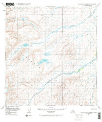
Editions of this 1951 Talkeetna Mountains B-2 Map
3 editions found
Other maps of this area

1949 · Talkeetna Mountains A-1
USGS Topo · 1:63,360

1950 · Talkeetna Mountains
USGS Topo · 1:250,000

1951 · Talkeetna Mountains B-1
USGS Topo · 1:63,360

1951 · Talkeetna Mountains A-2
USGS Topo · 1:63,360

1951 · Talkeetna Mountains C-2
USGS Topo · 1:63,360

1951 · Talkeetna Mountains B-3
USGS Topo · 1:63,360

1951 · Talkeetna Mountains A-3
USGS Topo · 1:63,360

1951 · Talkeetna Mountains C-1
USGS Topo · 1:63,360

1951 · Talkeetna Mountains C-3
USGS Topo · 1:63,360
1952 · Talkeetna Mountains A-1
USGS Topo · 1:63,360