
1951 Map of Talkeetna Mountains B-1
USGS Topo · Published 1960About this map
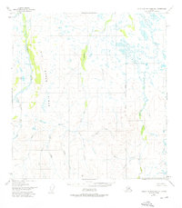
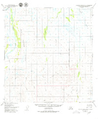
Big Bones Ridge dominates the central terrain of this 1950s interior Alaskan landscape, a region defined by its complex drainage systems and absence of established roads. The mapping reveals a transition where the Oshetna River and Little Oshetna River flow through the western corridors, while the eastern reaches are fed by Tyone Creek and its various tributaries.
Find a feature on this map
17 named features on this map. Tap any name to fly to it.
Don’t see what you’re looking for? This feature index may not catch every label — zoom into the map to look around manually.
Map Details
Editions of this 1951 Talkeetna Mountains B-1 Map
3 editions found
Other maps of this area

1949 · Talkeetna Mountains A-1
USGS Topo · 1:63,360

1949 · Gulkana A-6
USGS Topo · 1:63,360

1950 · Talkeetna Mountains
USGS Topo · 1:250,000

1950 · Gulkana B-6
USGS Topo · 1:63,360

1951 · Gulkana
USGS Topo · 1:250,000

1951 · Talkeetna Mountains A-2
USGS Topo · 1:63,360

1951 · Talkeetna Mountains C-2
USGS Topo · 1:63,360

1951 · Talkeetna Mountains B-2
USGS Topo · 1:63,360

1951 · Talkeetna Mountains C-1
USGS Topo · 1:63,360

1951 · Gulkana C-6
USGS Topo · 1:63,360