
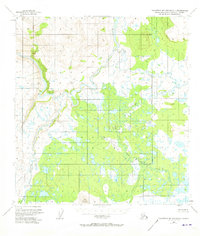
1951 Map of Talkeetna Mountains C-1
USGS Topo · Published 1965About this map
The Susitna River carves through this remote interior landscape at the start of the 1950s, serving as the dominant drainage for a network of glacial and mountain tributaries. This survey, based on 1949 aerial photography, documents the intricate confluence where the Tyone River and the Oshetna River meet the Susitna, a region defined by extensive marshlands and high-altitude survey points. The East Boundary Seward Meridian bisects the eastern portion of the sheet, marking a significant transition in the early land management of the Alaska Territory.
Find a feature on this map
11 named features on this map. Tap any name to fly to it.
Don’t see what you’re looking for? This feature index may not catch every label — zoom into the map to look around manually.
Map Details
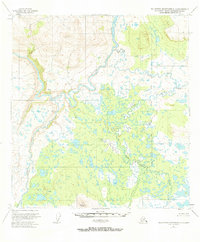
Editions of this 1951 Talkeetna Mountains C-1 Map
3 editions found
Other maps of this area

1950 · Talkeetna Mountains
USGS Topo · 1:250,000

1950 · Gulkana B-6
USGS Topo · 1:63,360

1951 · Gulkana
USGS Topo · 1:250,000

1951 · Gulkana D-6
USGS Topo · 1:63,360

1951 · Talkeetna Mountains B-1
USGS Topo · 1:63,360

1951 · Talkeetna Mountains C-2
USGS Topo · 1:63,360

1951 · Talkeetna Mountains D-2
USGS Topo · 1:63,360

1951 · Talkeetna Mountains B-2
USGS Topo · 1:63,360

1951 · Talkeetna Mountains D-1
USGS Topo · 1:63,360

1951 · Gulkana C-6
USGS Topo · 1:63,360