
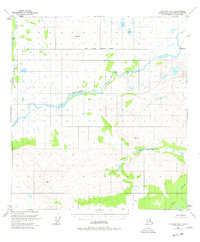
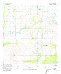
1951 Map of Gulkana D-6
USGS Topo · Published 1960About this map
The Maclaren River dominates this interior Alaskan landscape, winding through a complex network of glacial terrain and wetlands during the early 1950s. The area is largely devoid of formal infrastructure, marked instead by isolated surveyor benchmarks and the occasional Cabin. These small structures represent the few fixed points of human habitation in a region defined by its hydrography, including the tributary waters of Clearwater Creek and Moose Creek. High-elevation points like Vabm 5275 Laren and Vabm 4224 Horn served as essential triangulation stations for the U.S. Geological Survey. This 1:63,360 scale map, based on aerial photography from 1950, documents the pre-development character of the Copper River Meridian before modern access roads or pipelines altered the wilderness drainage patterns.
Find a feature on this map
9 named features on this map. Tap any name to fly to it.
Don’t see what you’re looking for? This feature index may not catch every label — zoom into the map to look around manually.
Map Details
Editions of this 1951 Gulkana D-6 Map
3 editions found
Other maps of this area

1949 · Healy A-1
USGS Topo · 1:63,360

1949 · Mount Hayes A-5
USGS Topo · 1:63,360

1950 · Talkeetna Mountains
USGS Topo · 1:250,000

1950 · Mount Hayes
USGS Topo · 1:250,000

1950 · Mount Hayes A-6
USGS Topo · 1:63,360

1951 · Healy
USGS Topo · 1:250,000

1951 · Gulkana
USGS Topo · 1:250,000

1951 · Mount Hayes
USGS Topo · 1:250,000

1951 · Gulkana D-5
USGS Topo · 1:63,360

1951 · Gulkana C-5
USGS Topo · 1:63,360