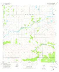
1951 Map of Gulkana D-6
USGS Topo · Published 1977About this map
The Maclaren River winds through this subarctic interior landscape, carving a wide valley between high-altitude benchmarks in the Matanuska-Susitna Borough. Established by photogrammetric methods from 1950 aerial photography, the map highlights the primitive state of the region's mid-century infrastructure. A solitary Cabin situated near the riverbanks is the only indicated settlement structure, suggesting a landscape primarily utilized for seasonal trapping, hunting, or early mineral exploration rather than permanent habitation.
Find a feature on this map
11 named features on this map. Tap any name to fly to it.
Don’t see what you’re looking for? This feature index may not catch every label — zoom into the map to look around manually.
Map Details
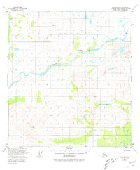
Editions of this 1951 Gulkana D-6 Map
3 editions found
Other maps of this area

1949 · Healy A-1
USGS Topo · 1:63,360

1949 · Mount Hayes A-5
USGS Topo · 1:63,360

1950 · Talkeetna Mountains
USGS Topo · 1:250,000

1950 · Mount Hayes
USGS Topo · 1:250,000

1950 · Mount Hayes A-6
USGS Topo · 1:63,360

1951 · Healy
USGS Topo · 1:250,000

1951 · Gulkana
USGS Topo · 1:250,000

1951 · Mount Hayes
USGS Topo · 1:250,000

1951 · Gulkana D-6
USGS Topo · 1:63,360

1951 · Gulkana D-5
USGS Topo · 1:63,360