
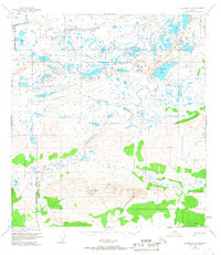
1951 Map of Gulkana D-5
USGS Topo · Published 1963About this map
The Maclaren River and the headwaters of the Gulkana River define this high-altitude landscape as it was documented in 1951. Located at the intersection of the South Boundary Fairbanks Meridian, this territory is characterized by a complex network of glacial lakes and river forks. Notable water bodies such as Dickey Lake and the Tangle Lakes chain are connected by the Middle Fork Gulkana River, illustrating the natural drainage patterns of the Copper River and Fairbanks Meridian divide. The topography includes distinct mountain features labeled Keg and Fan, which rise above the surrounding creek systems. This map captures a pristine subarctic environment before significant modern infrastructure reached these interior highlands, providing a clear record of the area’s hydrography and unnamed, unsurveyed land lines as designated by the Bureau of Land Management.
Find a feature on this map
12 named features on this map. Tap any name to fly to it.
Don’t see what you’re looking for? This feature index may not catch every label — zoom into the map to look around manually.
Map Details
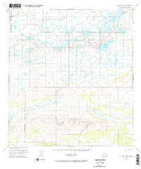
Editions of this 1951 Gulkana D-5 Map
3 editions found
Other maps of this area

1949 · Mount Hayes A-4
USGS Topo · 1:63,360

1949 · Mount Hayes A-5
USGS Topo · 1:63,360

1950 · Mount Hayes
USGS Topo · 1:250,000

1950 · Gulkana D-4
USGS Topo · 1:63,360

1950 · Gulkana C-4
USGS Topo · 1:63,360

1950 · Mount Hayes A-6
USGS Topo · 1:63,360

1951 · Gulkana
USGS Topo · 1:250,000

1951 · Mount Hayes
USGS Topo · 1:250,000

1951 · Gulkana D-6
USGS Topo · 1:63,360

1951 · Gulkana C-5
USGS Topo · 1:63,360