
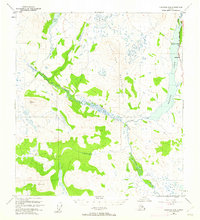
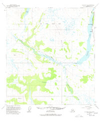
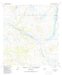
1950 Map of Gulkana D-4
USGS Topo · Published 1961About this map
Paxson Lake dominates the eastern landscape of this interior Alaska territory, where the early post-war transportation network begins to take shape. The Richardson Highway parallels the eastern shore, providing a vital link for traveler outposts like Sportsman Lodge and Hufmans. The map documents a landscape in transition, where established travel routes meet seasonal paths such as the Tractor Trail and several stretches labeled as Tractor Trail (Abandoned).
Find a feature on this map
17 named features on this map. Tap any name to fly to it.
Don’t see what you’re looking for? This feature index may not catch every label — zoom into the map to look around manually.
Map Details
Editions of this 1950 Gulkana D-4 Map
4 editions found
Other maps of this area

1949 · Mount Hayes A-4
USGS Topo · 1:63,360

1949 · Gulkana D-3
USGS Topo · 1:63,360

1949 · Mount Hayes A-5
USGS Topo · 1:63,360

1950 · Mount Hayes
USGS Topo · 1:250,000

1950 · Mount Hayes A-3
USGS Topo · 1:63,360

1950 · Gulkana C-3
USGS Topo · 1:63,360

1950 · Gulkana C-4
USGS Topo · 1:63,360

1951 · Gulkana
USGS Topo · 1:250,000

1951 · Mount Hayes
USGS Topo · 1:250,000

1951 · Gulkana D-5
USGS Topo · 1:63,360