
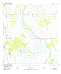
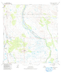
1949 Map of Gulkana D-3
USGS Topo · Published 1964About this map
The Gakona River and Copper River converge in this remote Alaskan interior landscape, creating a braided waterway system of gravel bars and shifting channels. The Richardson Highway provides the primary corridor for movement through the western portion of the quadrangle, serving as the lifeline for isolated outposts like Meier Lodge. This survey, based on 1940s photography and field annotation, captures the region's early post-war infrastructure, including a prominent Tractor Trail that branches off the highway toward the river flats.
Find a feature on this map
16 named features on this map. Tap any name to fly to it.
Don’t see what you’re looking for? This feature index may not catch every label — zoom into the map to look around manually.
Map Details
Editions of this 1949 Gulkana D-3 Map
3 editions found
Other maps of this area

1949 · Mount Hayes A-4
USGS Topo · 1:63,360

1949 · Gulkana C-2
USGS Topo · 1:63,360

1950 · Mount Hayes
USGS Topo · 1:250,000

1950 · Gulkana D-4
USGS Topo · 1:63,360

1950 · Mount Hayes A-3
USGS Topo · 1:63,360

1950 · Gulkana C-3
USGS Topo · 1:63,360

1950 · Gulkana C-4
USGS Topo · 1:63,360

1951 · Gulkana
USGS Topo · 1:250,000

1951 · Mount Hayes
USGS Topo · 1:250,000

1952 · Gulkana D-3
USGS Topo · 1:63,360