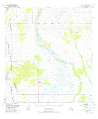
1949 Map of Gulkana D-3
USGS Topo · Published 1978About this map
The braided channels of the Gakona River dominate this interior landscape, illustrating the shifting watercourses of the Copper River basin. Settlement is centered around Meiers Lake, where Meier Lodge serves as a lone outpost along the Richardson Highway. This edition is particularly notable for capturing a major infrastructure milestone, showing the Trans-Alaska Pipeline while it was still under construction, paralleling the highway and crossing the Gillespie Creek and Spring Creek drainages. A network of primitive transit is evident in the Tractor Trail winding through the terrain south of Round Top Mountain. The map also details early communications with Radio Towers positioned in the northwestern corner, providing a look at the essential transport and utility corridors that connected this part of the Alaskan wilderness during the mid-20th century.
Find a feature on this map
16 named features on this map. Tap any name to fly to it.
Don’t see what you’re looking for? This feature index may not catch every label — zoom into the map to look around manually.
Map Details
Editions of this 1949 Gulkana D-3 Map
3 editions found
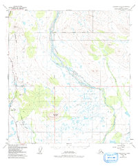
Other maps of this area

1949 · Mount Hayes A-4
USGS Topo · 1:63,360

1949 · Gulkana C-2
USGS Topo · 1:63,360

1949 · Gulkana D-3
USGS Topo · 1:63,360

1950 · Mount Hayes
USGS Topo · 1:250,000

1950 · Gulkana D-4
USGS Topo · 1:63,360

1950 · Mount Hayes A-3
USGS Topo · 1:63,360

1950 · Gulkana C-3
USGS Topo · 1:63,360

1950 · Gulkana C-4
USGS Topo · 1:63,360

1951 · Gulkana
USGS Topo · 1:250,000

1951 · Mount Hayes
USGS Topo · 1:250,000