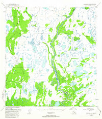
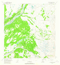
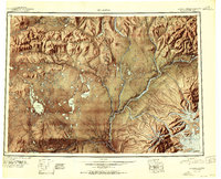
1950 Map of Gulkana C-3
USGS Topo · Published 1963About this map
The Copper River and Gakona River converge in this mid-century landscape, defined by a complex network of glacial meltwater and interconnected wetlands. The Richardson Highway provides the primary corridor through the western portion of the region, skirting the base of Hogan Hill. This 1950 survey represents the area's development before major modern infrastructure changes, showing the primitive state of the interior road system and the location of the Sourdough Campground along the banks of Sourdough Creek. Several survey benchmarks, including VABM Home 2689 and VABM Shuna 2747, establish the topographical elevations across this water-heavy terrain. The map captures the hydrological character of the Gulkana region, where smaller tributaries like Haggard Creek and Gulkana Creek feed into the larger river systems.
Find a feature on this map
13 named features on this map. Tap any name to fly to it.
Don’t see what you’re looking for? This feature index may not catch every label — zoom into the map to look around manually.
Map Details
Editions of this 1950 Gulkana C-3 Map
3 editions found
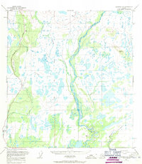

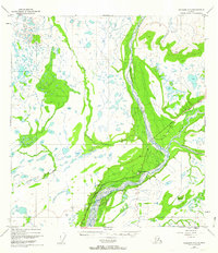
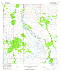
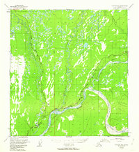
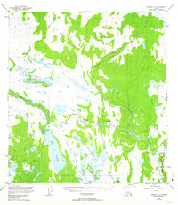
Other maps of this area
1949 · Gulkana C-2
USGS Topo · 1:63,360
1949 · Gulkana D-3
USGS Topo · 1:63,360
1949 · Gulkana B-2
USGS Topo · 1:63,360
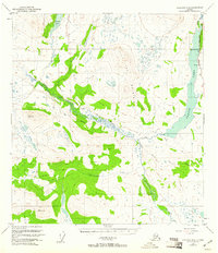
1950 · Gulkana D-4
USGS Topo · 1:63,360
1950 · Gulkana B-3
USGS Topo · 1:63,360
1950 · Gulkana C-4
USGS Topo · 1:63,360
1951 · Gulkana
USGS Topo · 1:250,000
1951 · Gulkana B-4
USGS Topo · 1:63,360
1952 · Gulkana D-3
USGS Topo · 1:63,360
1952 · Gulkana B-3
USGS Topo · 1:63,360