
1951 Map of Gulkana B-4
USGS Topo · Published 1964About this map
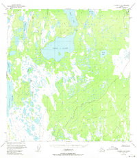
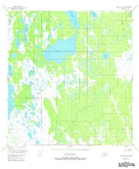
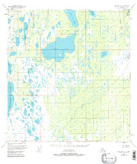
The vast interior wetlands of Alaska are defined by a labyrinth of interconnected water bodies on this 1951 sheet, centered on the expansive Ewan Lake. This unroaded landscape, based on 1950 aerial photography and Bureau of Land Management data, reveals a complex hydrologic network where Middle Lake and Dog Creek traverse the muskeg and forest. Notable for its isolation, the map shows very little human infrastructure beyond scattered Cabins, indicating the area's primary role as a seasonal hunting or subsistence ground during the mid-twentieth century.
Find a feature on this map
14 named features on this map. Tap any name to fly to it.
Don’t see what you’re looking for? This feature index may not catch every label — zoom into the map to look around manually.
Map Details
Editions of this 1951 Gulkana B-4 Map
4 editions found
Other maps of this area

1949 · Gulkana A-3
USGS Topo · 1:63,360

1949 · Gulkana A-5
USGS Topo · 1:63,360

1950 · Gulkana B-3
USGS Topo · 1:63,360

1950 · Gulkana C-3
USGS Topo · 1:63,360

1950 · Gulkana C-4
USGS Topo · 1:63,360

1951 · Gulkana
USGS Topo · 1:250,000

1951 · Gulkana B-5
USGS Topo · 1:63,360

1951 · Gulkana A-4
USGS Topo · 1:63,360

1951 · Gulkana C-5
USGS Topo · 1:63,360

1952 · Gulkana A-3
USGS Topo · 1:63,360