
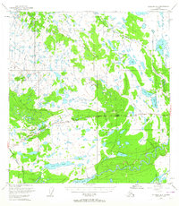
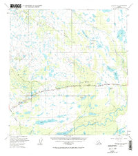
1949 Map of Gulkana A-5
USGS Topo · Published 1961About this map
Glenn Highway serves as the primary artery through this interior landscape, connecting isolated settlements and essential waypoints during the late 1940s. The presence of Trappers Den, Atlasta House, and Lakeview along the road corridor highlights the reliance on small roadhouses and homesteads for commerce and travel before the expansion of more modern infrastructure. Near the northern shore of Tazlina Lake, an Indian Cem and the settlement of Tazlina mark the long-standing human presence in the Copper River Meridian.
Find a feature on this map
27 named features on this map. Tap any name to fly to it.
Don’t see what you’re looking for? This feature index may not catch every label — zoom into the map to look around manually.
Map Details
Editions of this 1949 Gulkana A-5 Map
3 editions found
Other maps of this area

1949 · Gulkana A-6
USGS Topo · 1:63,360

1949 · Valdez D-6
USGS Topo · 1:63,360

1949 · Valdez D-7
USGS Topo · 1:63,360

1950 · Gulkana B-6
USGS Topo · 1:63,360

1951 · Gulkana
USGS Topo · 1:250,000

1951 · Valdez D-6
USGS Topo · 1:63,360

1951 · Valdez D-7
USGS Topo · 1:63,360

1951 · Gulkana B-5
USGS Topo · 1:63,360

1951 · Gulkana A-4
USGS Topo · 1:63,360

1951 · Gulkana B-4
USGS Topo · 1:63,360