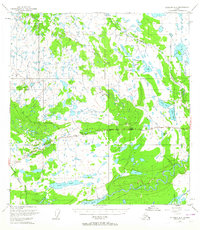
1949 Map of Gulkana A-5
USGS Topo · Published 1964About this map
The Tazlina River and its dense network of glacial tributaries define this subarctic landscape in the late 1940s. The region is marked by an extensive system of lakes, including Island Lake, Sucker Lake, and the suggestively named Mae West Lake. Small roadhouses and remote settlements like Trappers Den, Atlasta House, and Lakeview serve as critical hubs along the Glenn Highway, which provides the primary terrestrial link through the Copper River Basin.
Find a feature on this map
26 named features on this map. Tap any name to fly to it.
Don’t see what you’re looking for? This feature index may not catch every label — zoom into the map to look around manually.
Map Details
Editions of this 1949 Gulkana A-5 Map
3 editions found
Other maps of this area

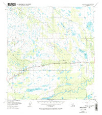
1949 · Gulkana A-5
USGS Topo · 1:63,360

1949 · Gulkana A-6
USGS Topo · 1:63,360

1949 · Valdez D-6
USGS Topo · 1:63,360

1949 · Valdez D-7
USGS Topo · 1:63,360

1950 · Gulkana B-6
USGS Topo · 1:63,360

1951 · Gulkana
USGS Topo · 1:250,000

1951 · Valdez D-6
USGS Topo · 1:63,360

1951 · Valdez D-7
USGS Topo · 1:63,360

1951 · Gulkana B-5
USGS Topo · 1:63,360

1951 · Gulkana A-4
USGS Topo · 1:63,360